HOME

5000-Mile Road Trip 2009

Belize

The Great Basin (Basin&Range)

Canyon Country

Kauai, HI 2003&2004

Big Island 2001 &
2009-2012

R & R in Mexico

Awesome Autumn in Arizona

 More Fall Foliage!

Another Autumn 
in Zion NP

Spring in the Arizona Desert

More Desert Spring!

Sunrise, Sunset

Winter Wonderland 

Waters & Summers

More Waterfalls!

Peaks & Canyons

Favorite Links


Webmistress

 Copyright
© Ellen Homontowski
 2001-2016
All rights reserved.

Powered by Doteasy


Escalante Grand Staircase
National Monument

*Click photos to enlarge*

 
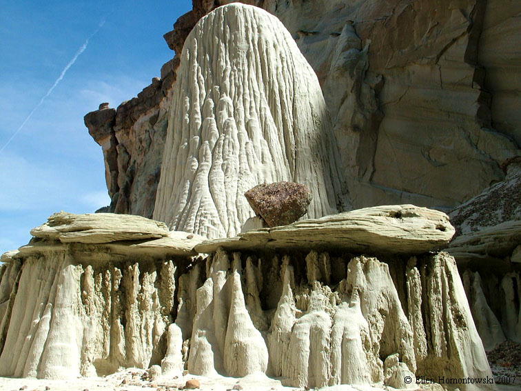
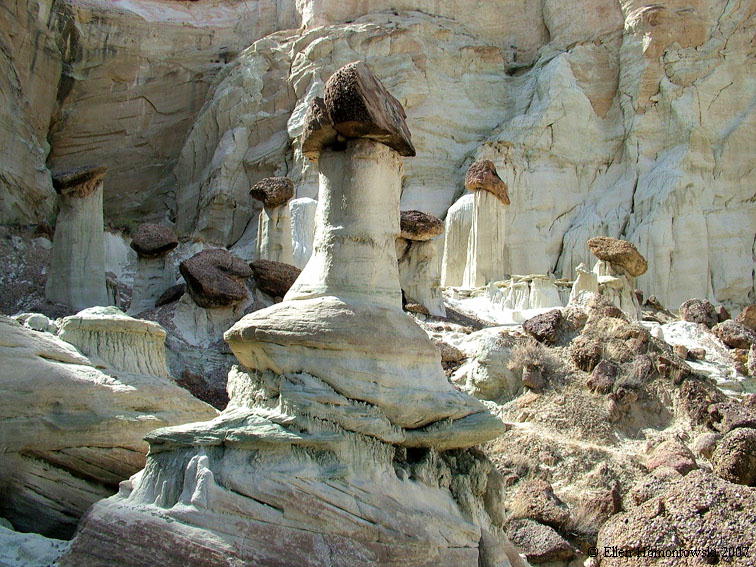
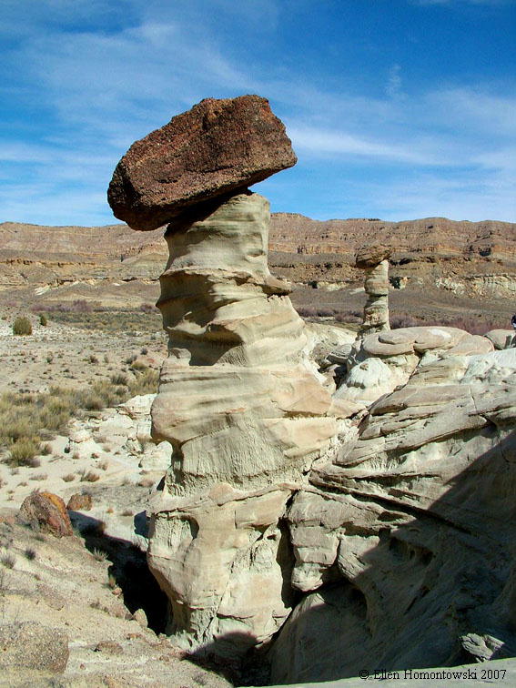
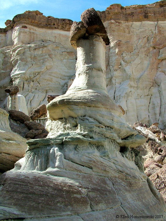
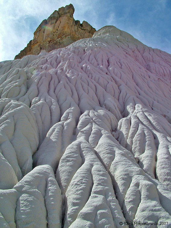
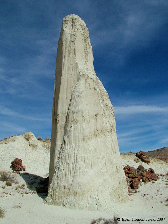
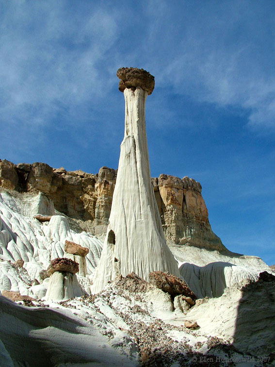
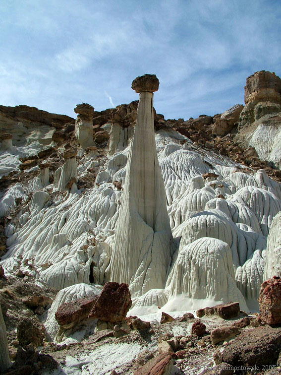
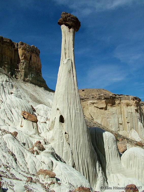
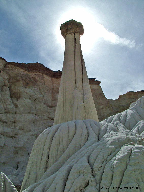
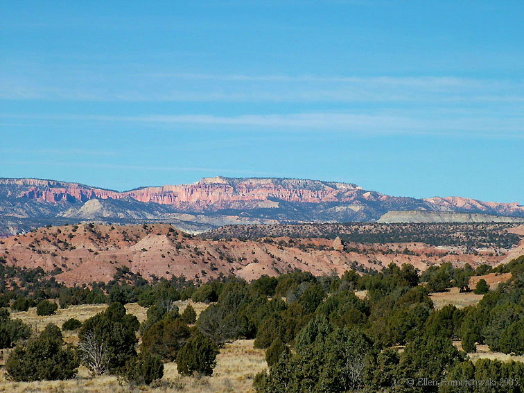
Across the desert floor north of Hwy 89 between Cottonwood Canyon Road & Churchwells to the Wahweap Hoodoos
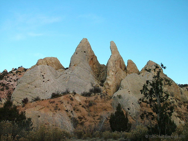
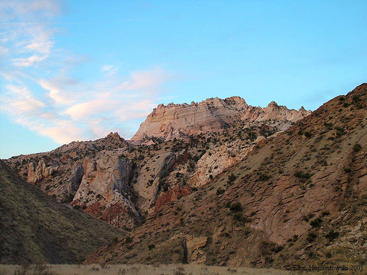
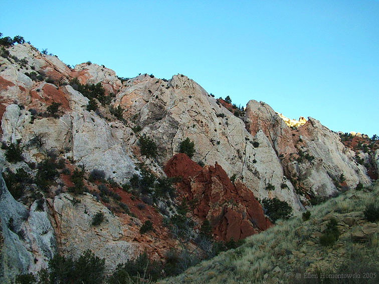
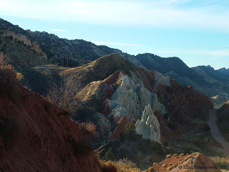
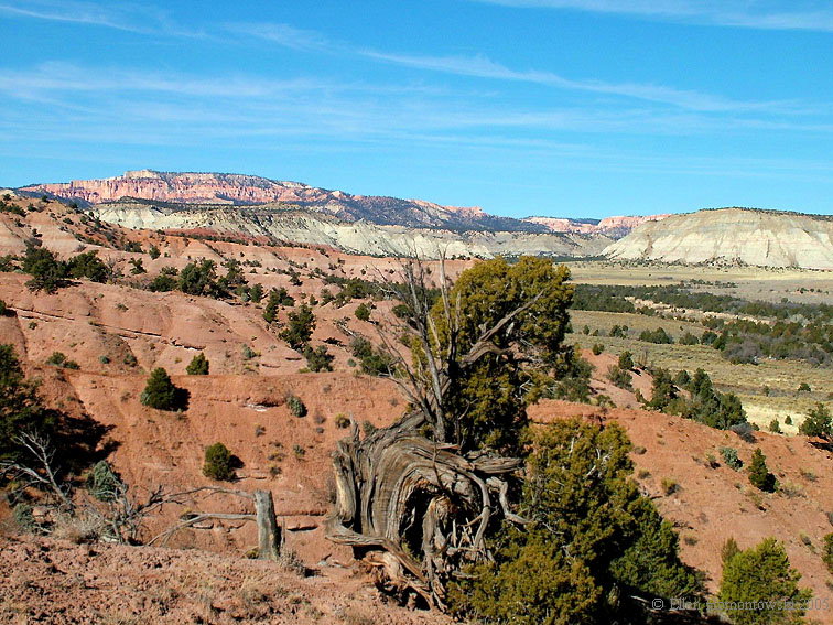
Up the "impassible when wet" Cottonwood Canyon Road from Hwy 89 CCrd1.jpg (121671 bytes) CCrd3.jpg (101335 bytes) CCrd5.jpg (127973 bytes)
CCrd4.jpg (141993 bytes) CCrd6.jpg (142861 bytes) CCrd7.jpg (118850 bytes) CCrd10.jpg (103511 bytes)
CCrd8.jpg (131506 bytes) CCrd9.jpg (107441 bytes) CCrd11.jpg (101250 bytes) CCrd12.jpg (114605 bytes)
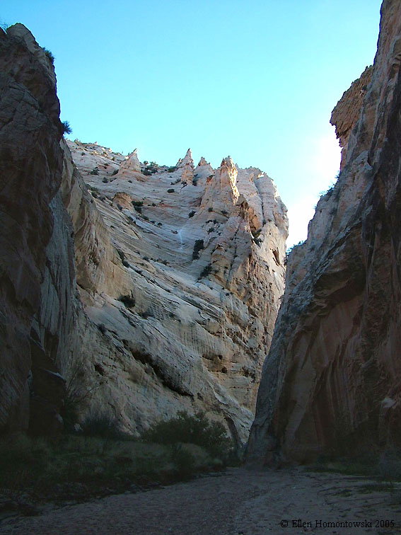
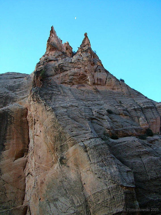
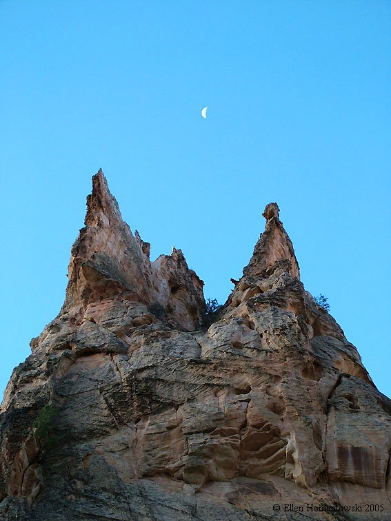
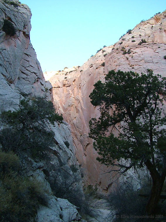
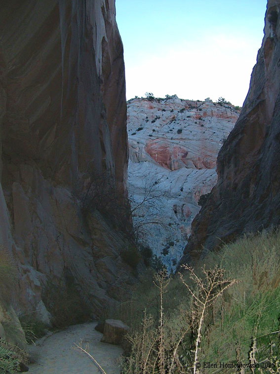
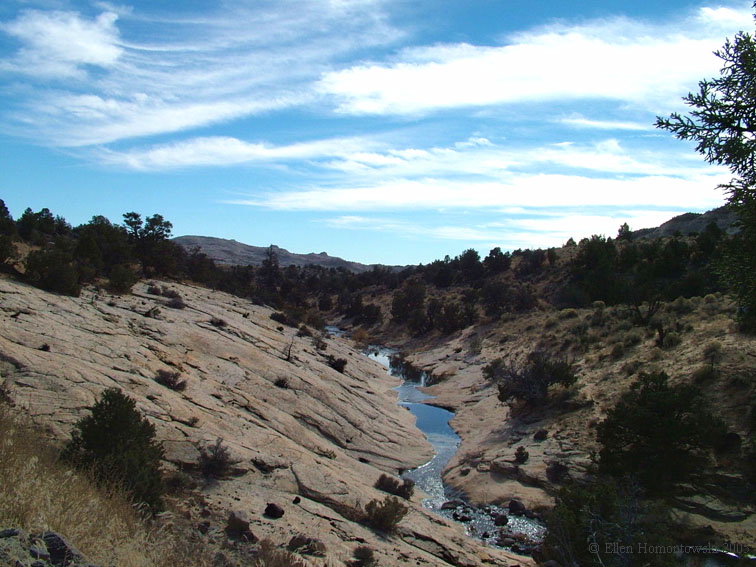
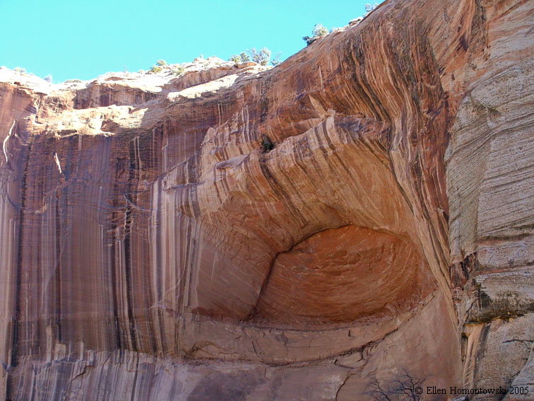
A brief morning hike in this gorgeous slot canyon... CCslot3.jpg (107500 bytes) CCslot1.jpg (126772 bytes) CCslot2.jpg (100222 bytes)
CCslot6.jpg (113651 bytes) CCslot7.jpg (112520 bytes) CCslot8.jpg (113055 bytes) CCslot5.jpg (126903 bytes)
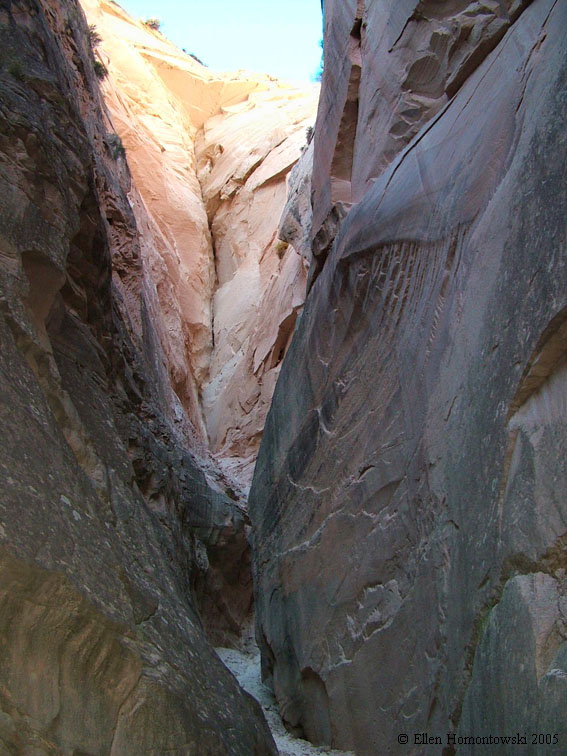
...going into another slot, from the slot CCslot4.jpg (146073 bytes) CCslot9.jpg (120632 bytes) CCslot10.jpg (104916 bytes)
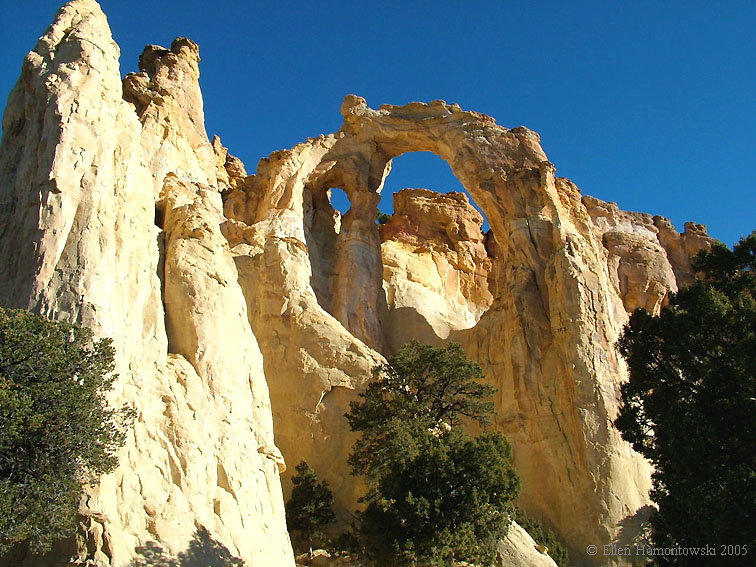
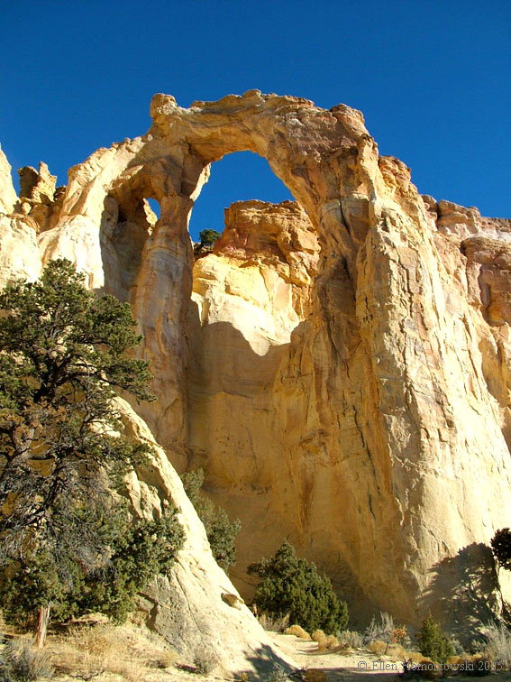
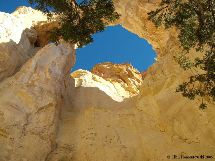
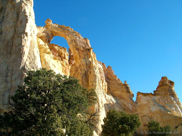
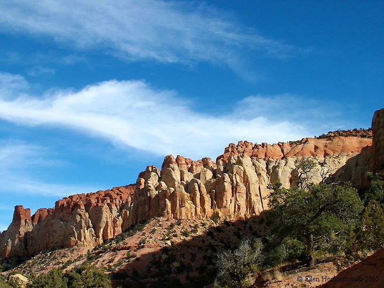
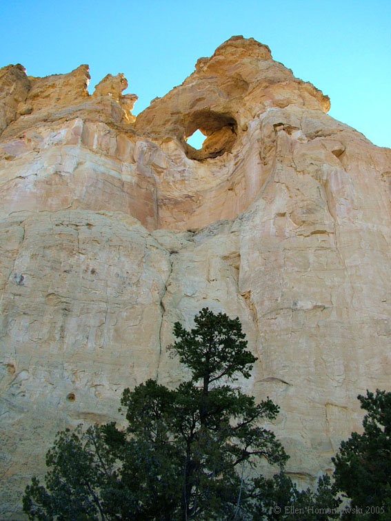
Next stop, Grosvenor's Arch Garch5.jpg (157266 bytes) Garch.jpg (156549 bytes) Garch3.jpg (132813 bytes)
Garch1.jpg (135044 bytes)

Garch2.jpg (125518 bytes)

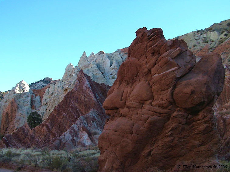
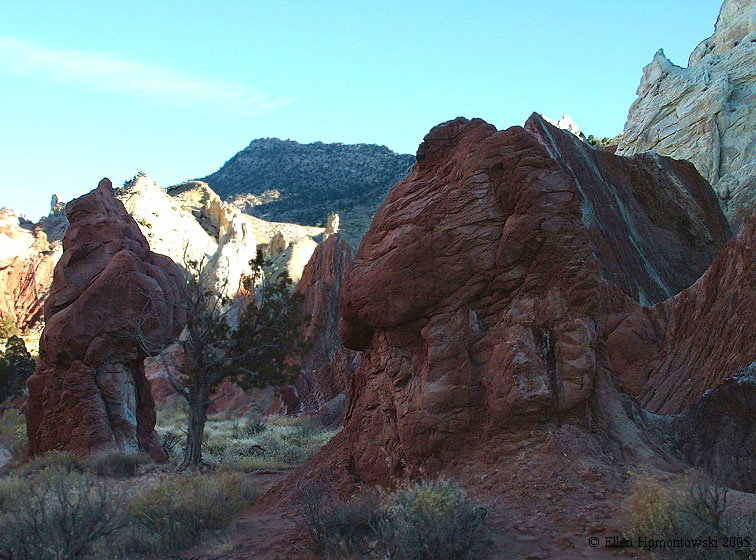
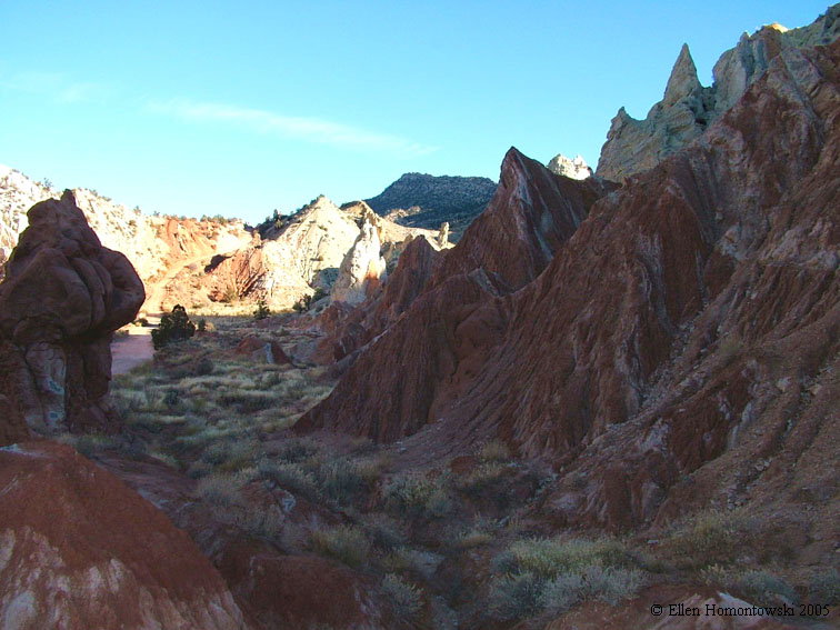
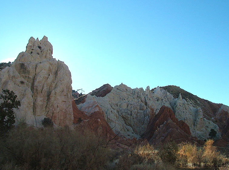
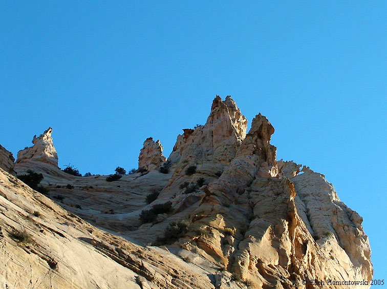
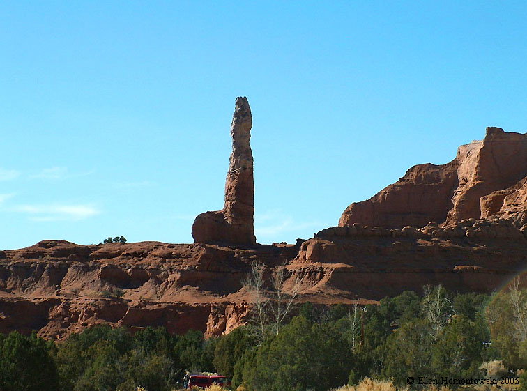
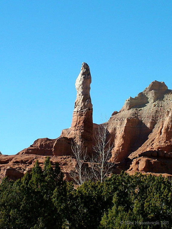
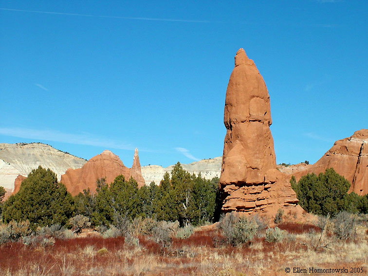
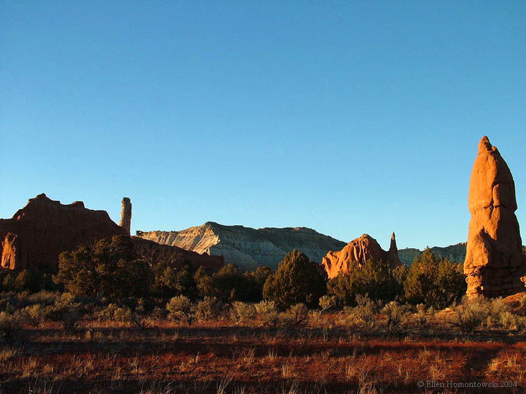
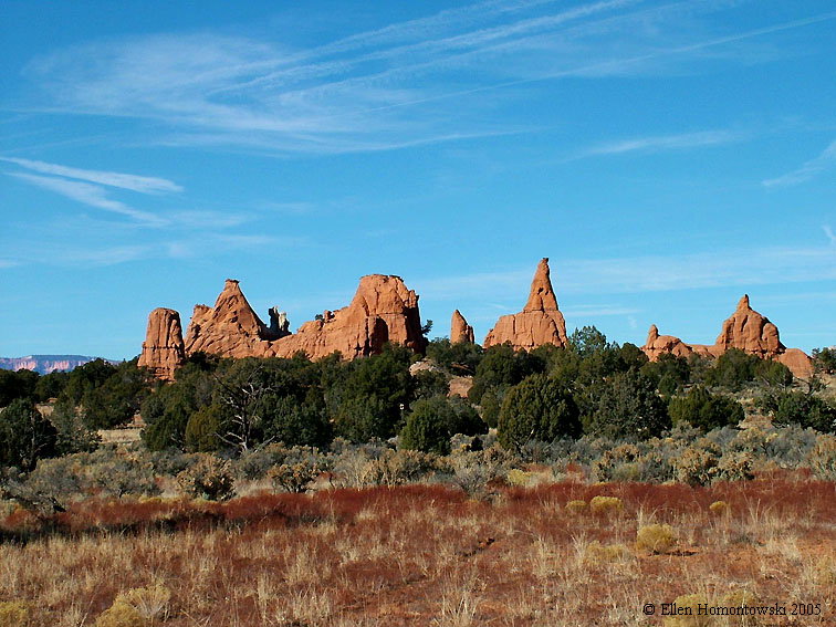
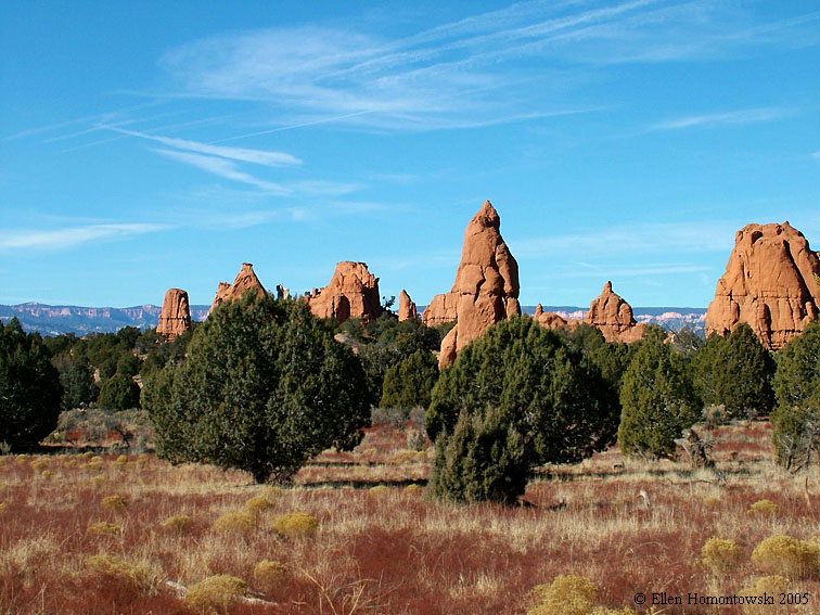
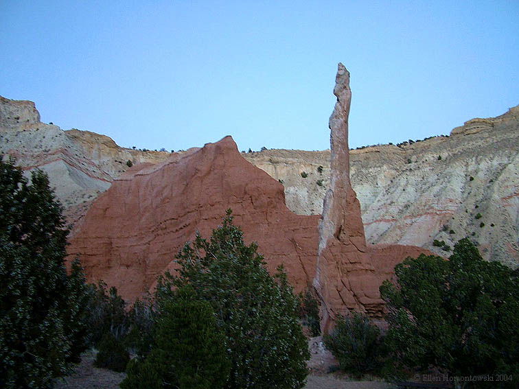
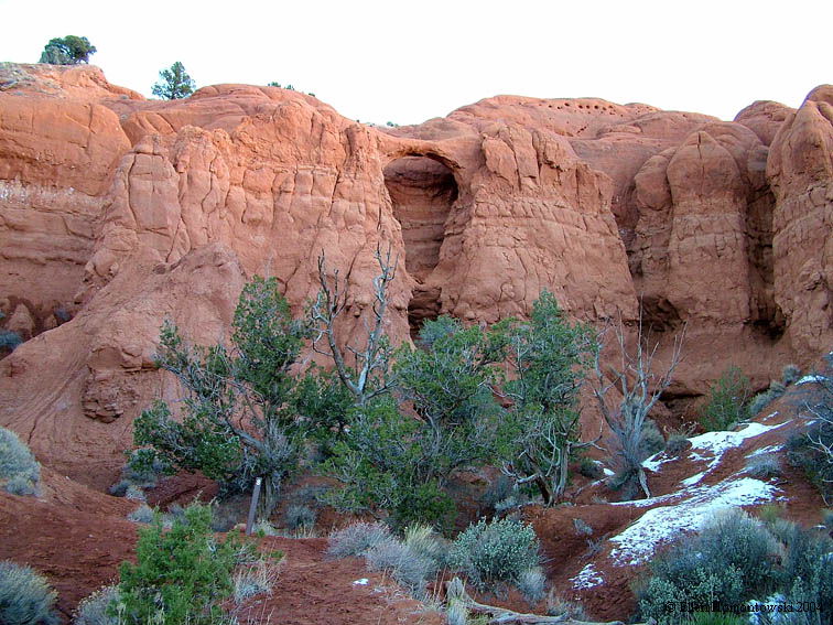
Another detour through Kodachrome State Park

 KB1.jpg (135469 bytes)

KB3.jpg (81651 bytes) KB2.jpg (98067 bytes) KB8.jpg (118536 bytes) KB4.jpg (120754 bytes)

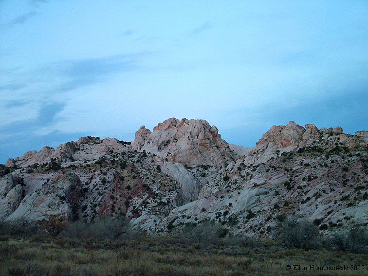
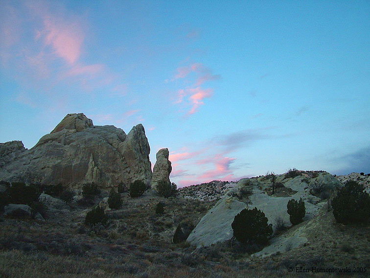
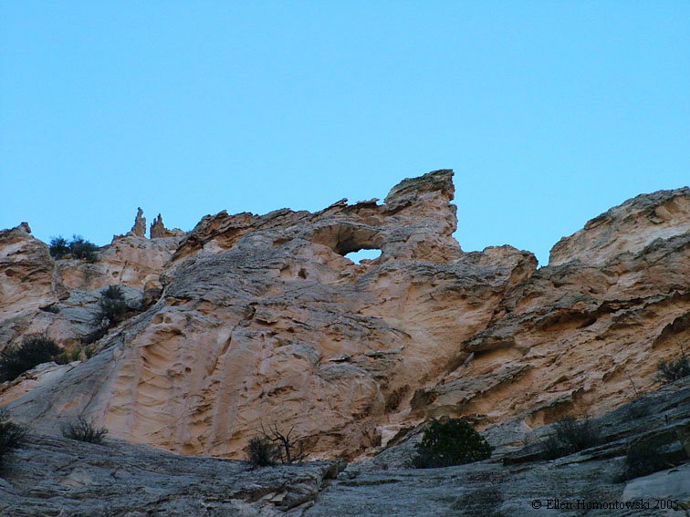
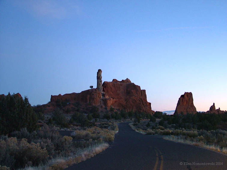
a few from a previous visit at dusk...
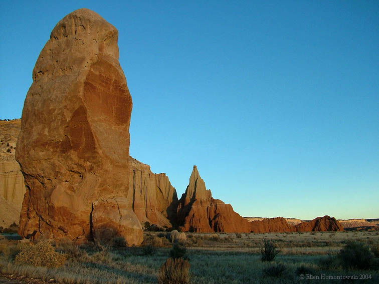
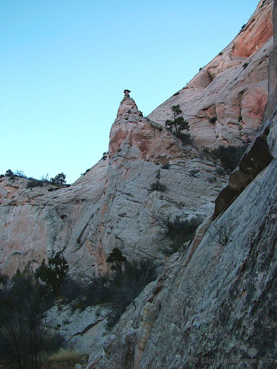
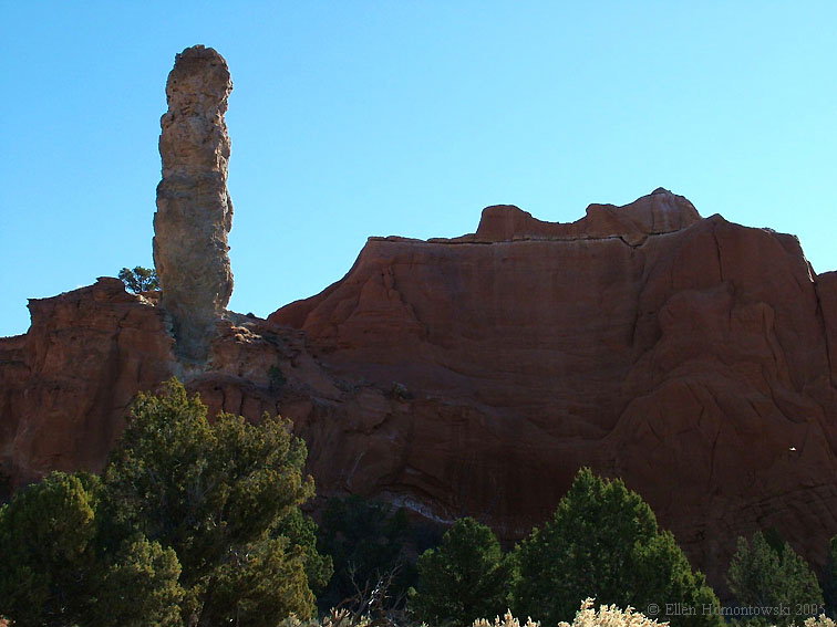
Kodachrome1.JPG (78383 bytes)

Kodachrome5.JPG (49496 bytes)

Kodachrome4.JPG (97354 bytes)

Kodachrome2.JPG (69732 bytes)

Chimney Rock

Shakespeare Arch

Kodachrome3.JPG (138893 bytes)

KB5.jpg (132120 bytes) KB7.jpg (133405 bytes)

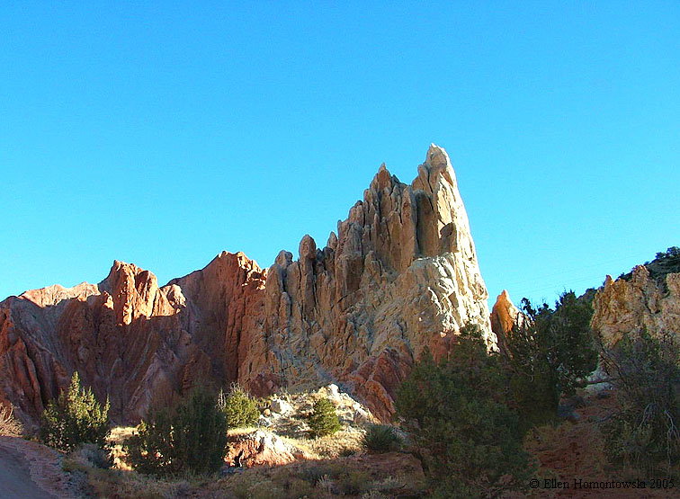
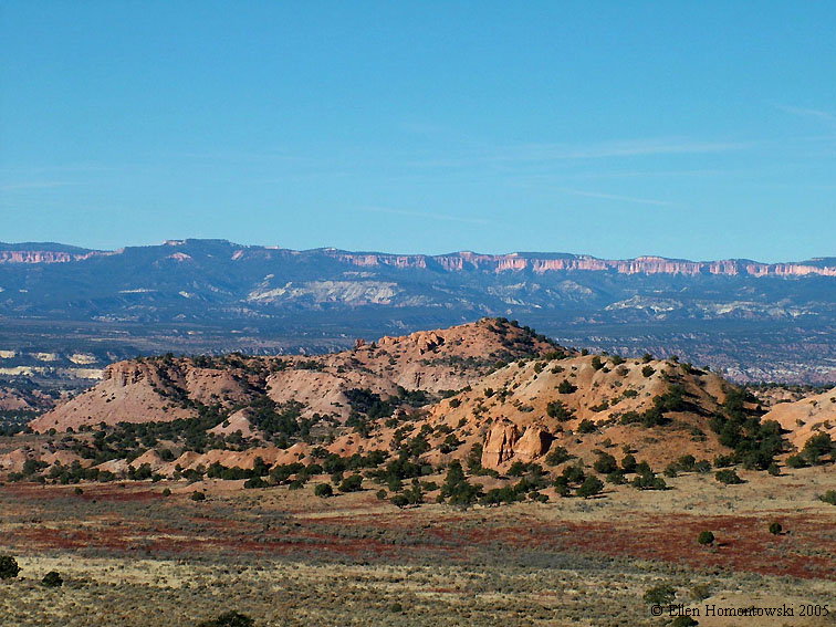
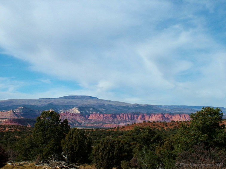
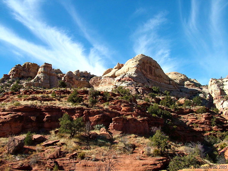
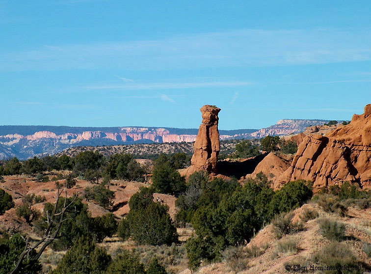
And back up Cottonwood Canyon Road, where cliffs of Bryce Canyon come into view

CCrdview3.jpg (127213 bytes)
CCrdview1.jpg (136943 bytes) CCrdview2.jpg (134355 bytes) View from the road to Sheep Creek & Grand View Trail 66 CCrdview4.jpg (174713 bytes)
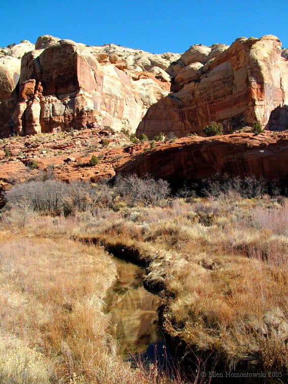
The spectacular Burr Trail road from Boulder, UT (a hiker's heaven!) BurrTr3.jpg (124897 bytes) BurrTr7.jpg (128010 bytes) BurrTr12.jpg (149566 bytes)
BurrTr1.jpg (191820 bytes)

Overlook view of 30 miles to the southern end of Capitol Reef

BurrTrview.jpg (118500 bytes) BurrTr11.jpg (95955 bytes)
BurrTr4.jpg (96473 bytes) BurrTr10.jpg (92656 bytes) BurrTr6.jpg (106451 bytes) BurrTr9.jpg (112253 bytes)
BurrTr8.jpg (92532 bytes)

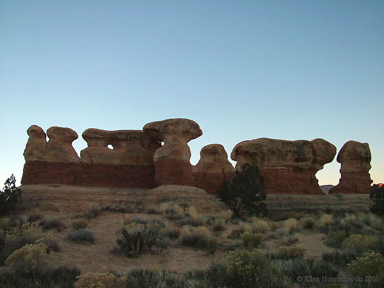
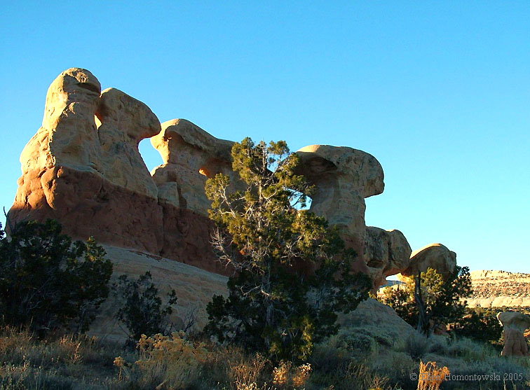
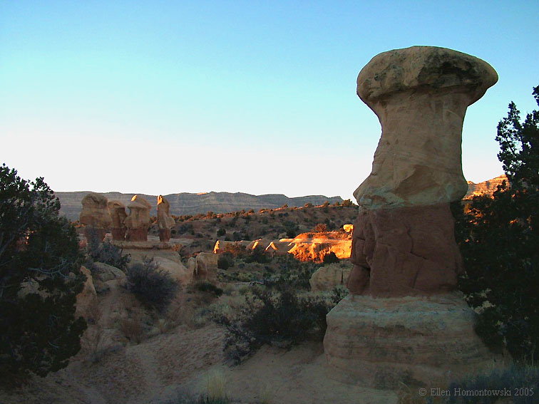
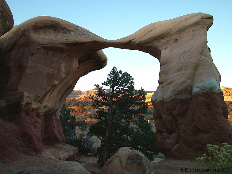
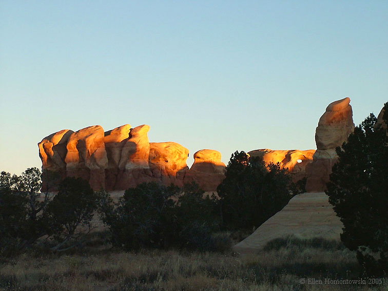
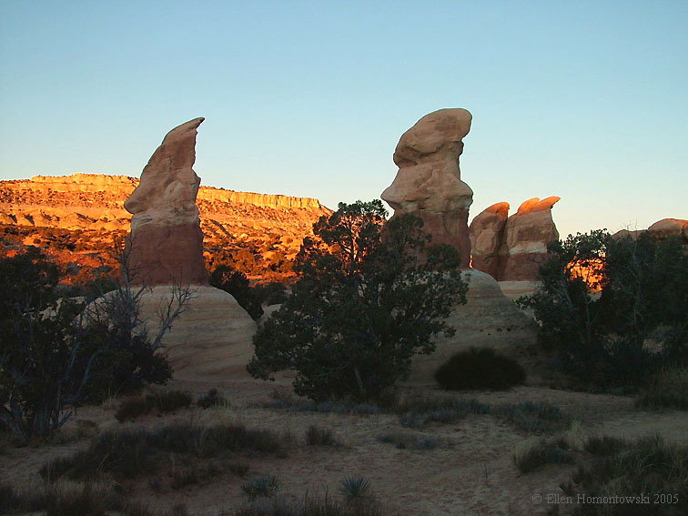
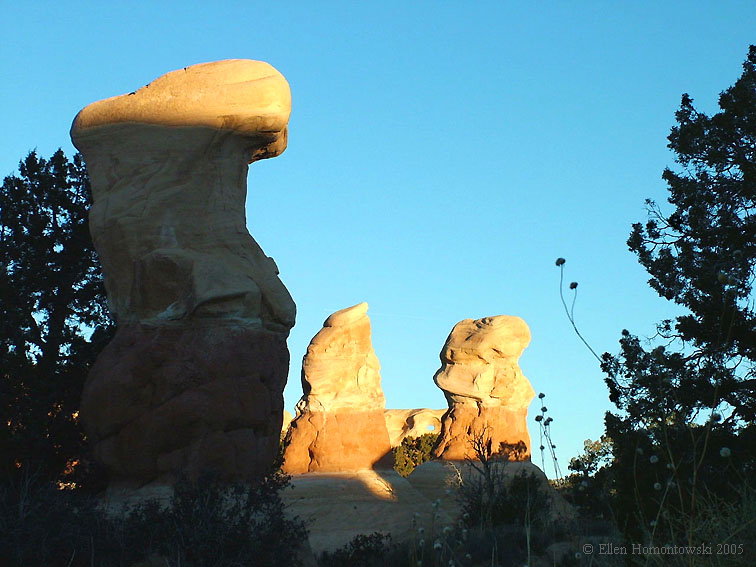
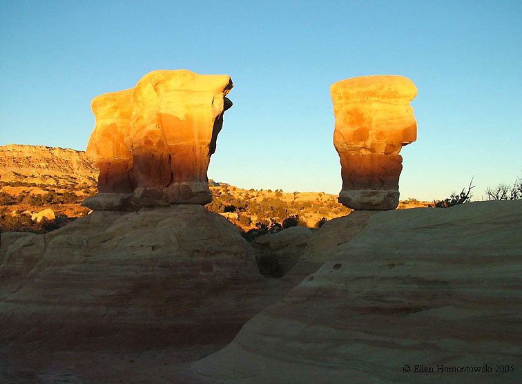
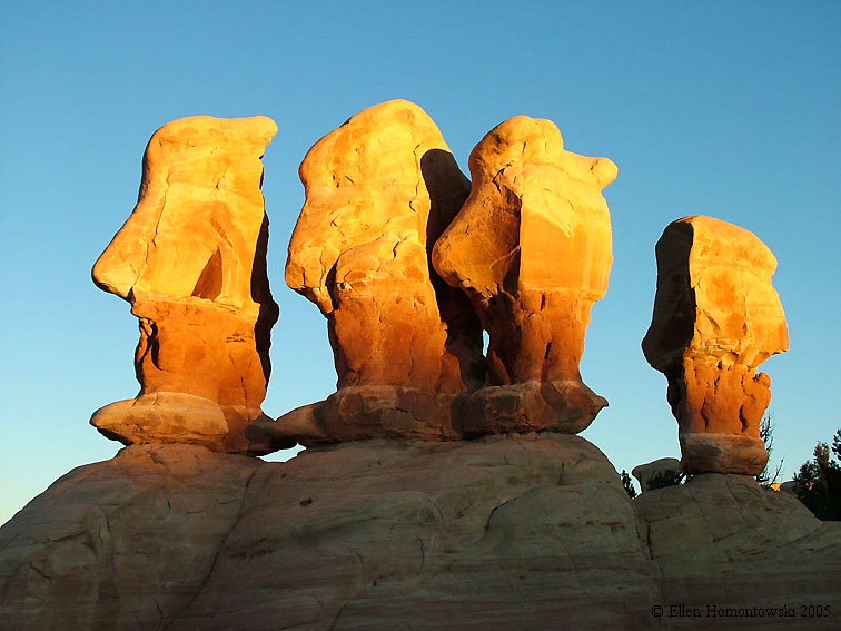
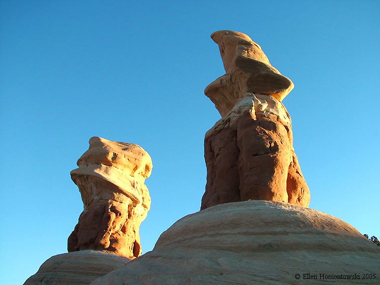
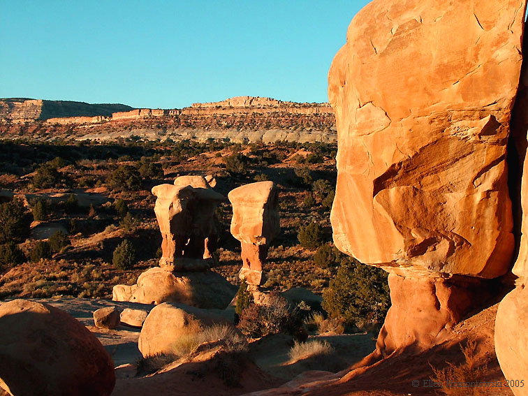
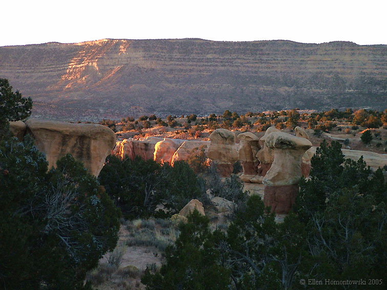
Another long washboard road, "Hole in the Rock", that leads to Lake Powell, with Grand beauties along the way like Devil's Garden at dawn.  

DG10.jpg (78116 bytes)
DG11.jpg (115685 bytes) DG6.jpg (87337 bytes) DGarch.jpg (106353 bytes) DG7.jpg (73223 bytes)
DG5.jpg (94305 bytes) DG9.jpg (103800 bytes) DG8.jpg (78165 bytes) DG2.jpg (96808 bytes)
DG1.jpg (80657 bytes) DG3.jpg (159007 bytes) DG4.jpg (120259 bytes) Who's on the naming committee, by the way, to call this heavenly place evil?
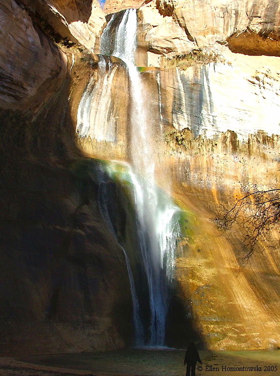
Calf Creek Rec. Area, 6-mile RT hike to 126 ft waterfall, (see more Falls)
calfcr1.jpg (174517 bytes) calfcr2.jpg (135901 bytes) calfcr3.jpg (154777 bytes) calfcrfallsme.jpg (133809 bytes)

Back to Top

Back to Canyon Country