Copyright
© Ellen Homontowski
2001-2016
All rights reserved.
Powered by Doteasy
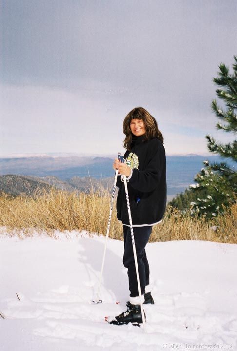
Hiking in the Winter Wonderland
*Click photos to enlarge*
 |
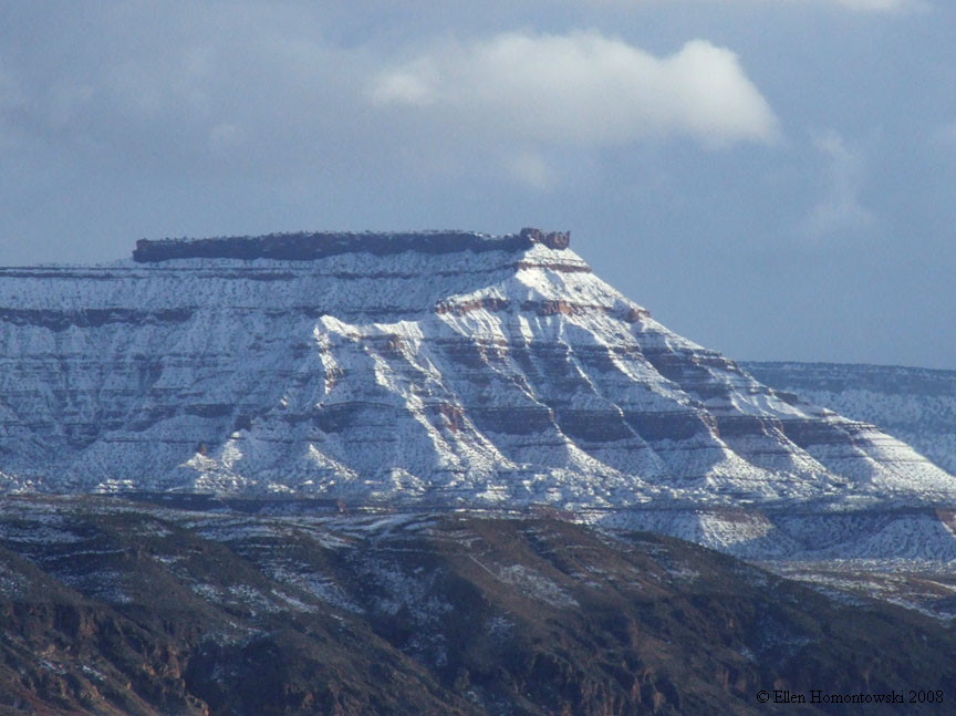
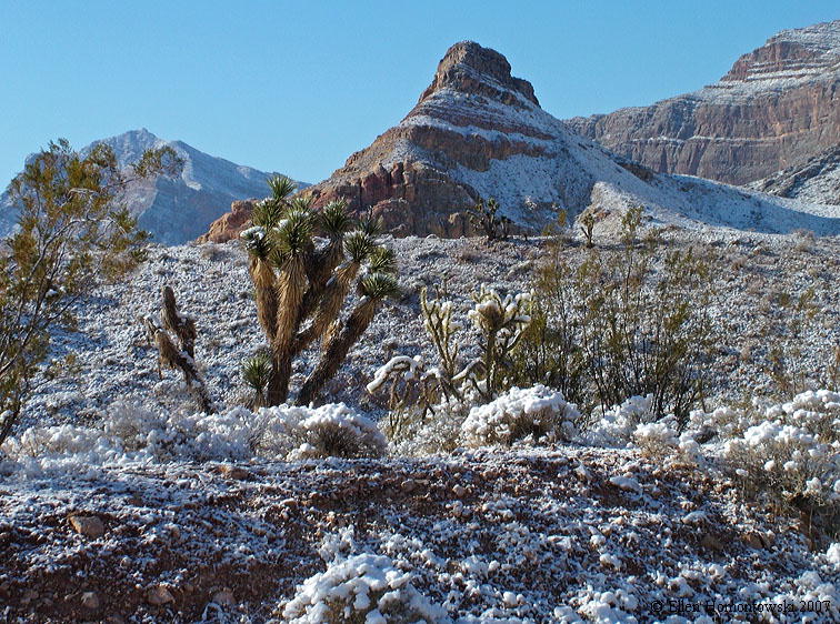
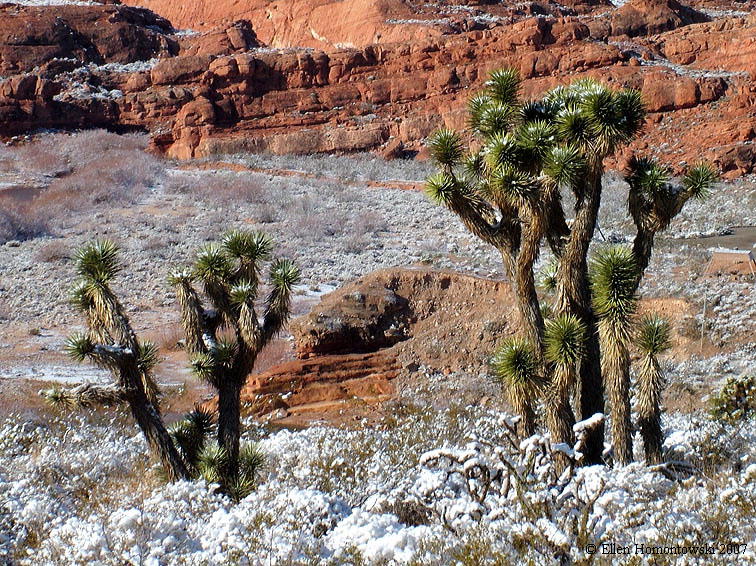
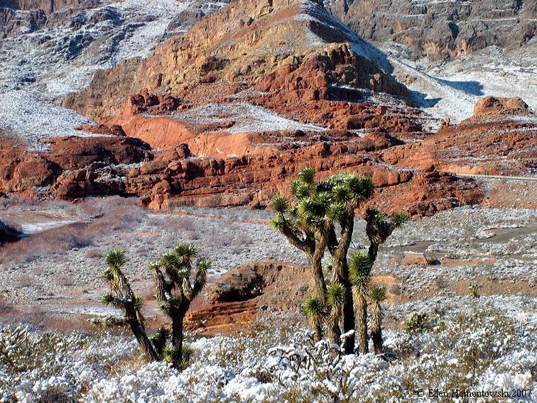
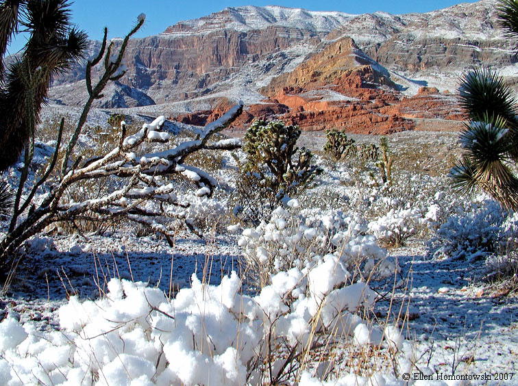
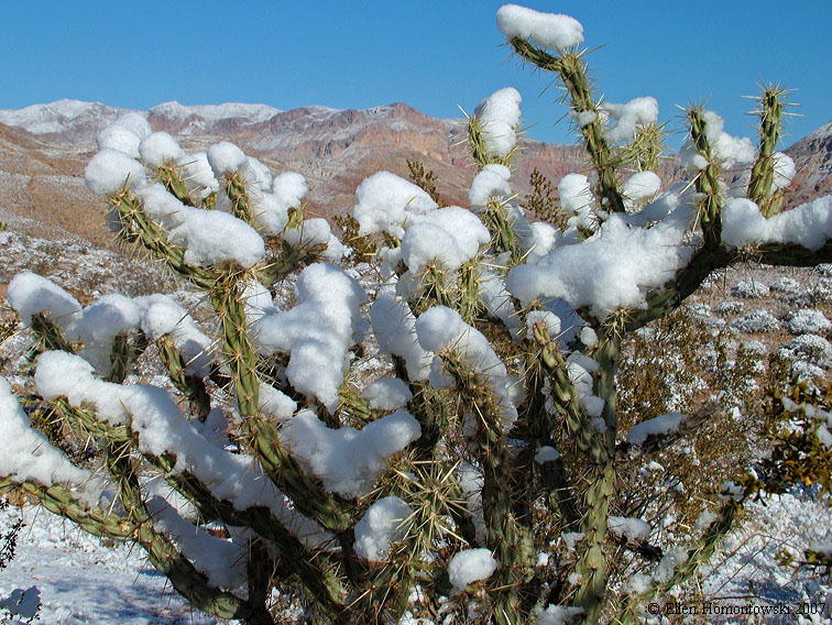
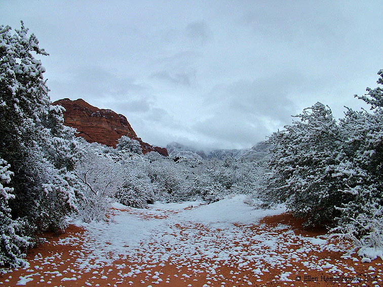
Weird winter '08-'09 in the Mojave Desert near Littlefield, AZ, north of Mesquite, NV (see Arizona's Basin & Range for more of this area we hiked) |
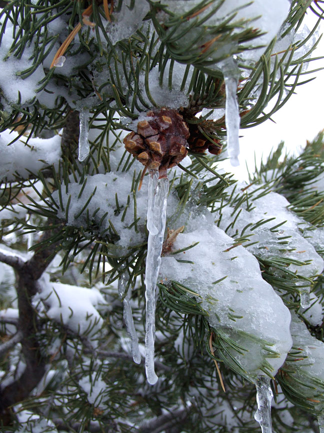
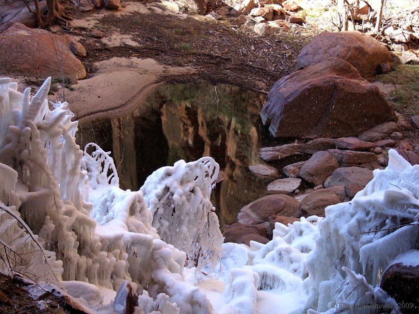
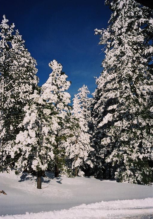
"Pinesicle" in Dixie Nat'l Forest near Enterprise, UT |
 |
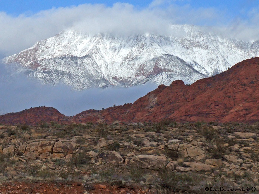
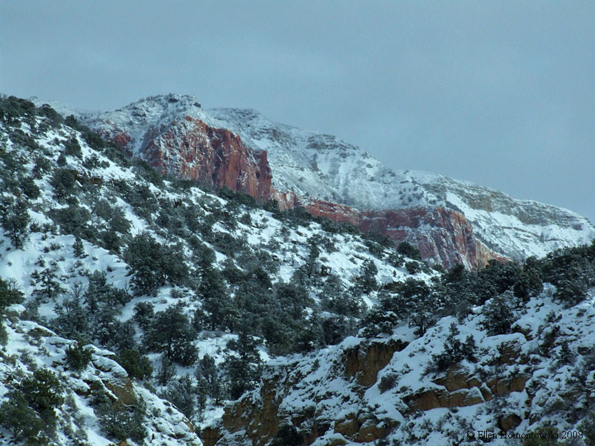
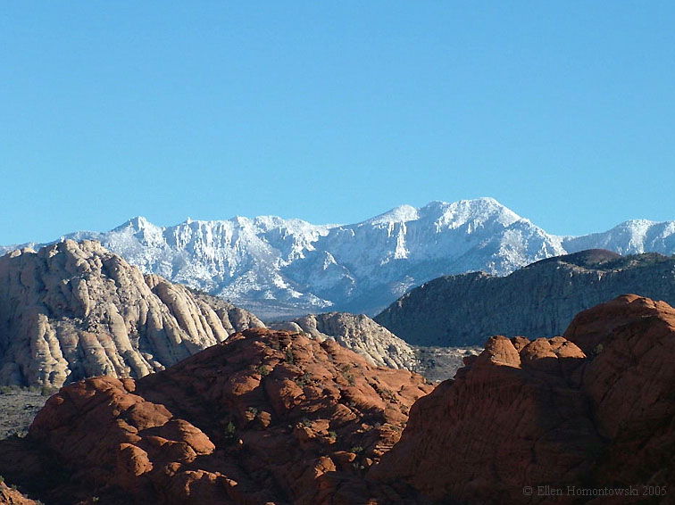
| 3 views while driving on I-15 between Hurricane & Kolob Canyons, UT |
 |
 |
 |
 |
Gooseberry after the storm, from Toquerville, UT |
Frozen bushes under Weeping Rock at Zion Nat'l Park |
 |
|
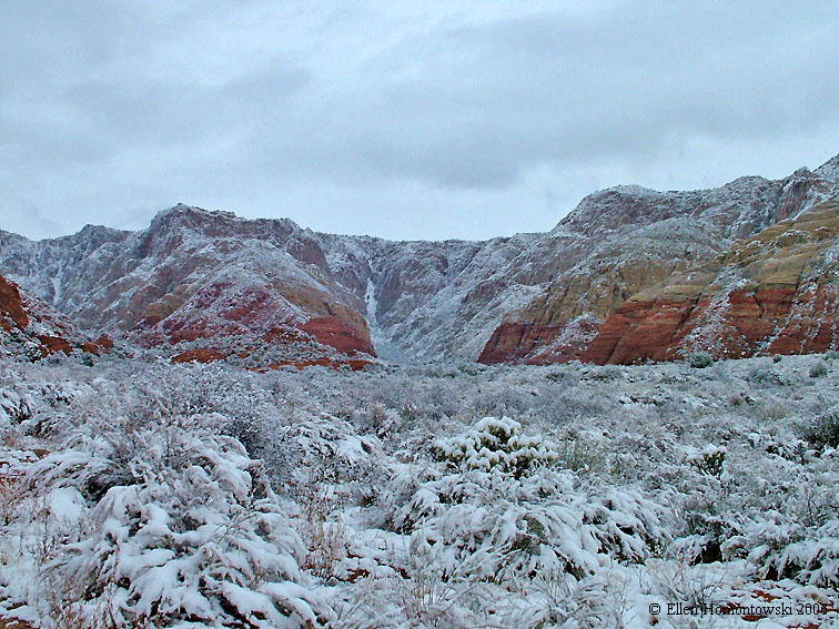
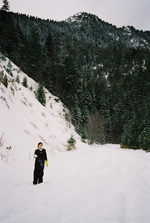
Desert blizzard results at Cedar Pocket, Virgin River Gorge between
Mesquite, NV & St. George, UT Jan '07 For the spring season in the upper gorge, see Arizona's Basin & Range |
 |
 |
 |
 |
 |
 |
 |
|
|
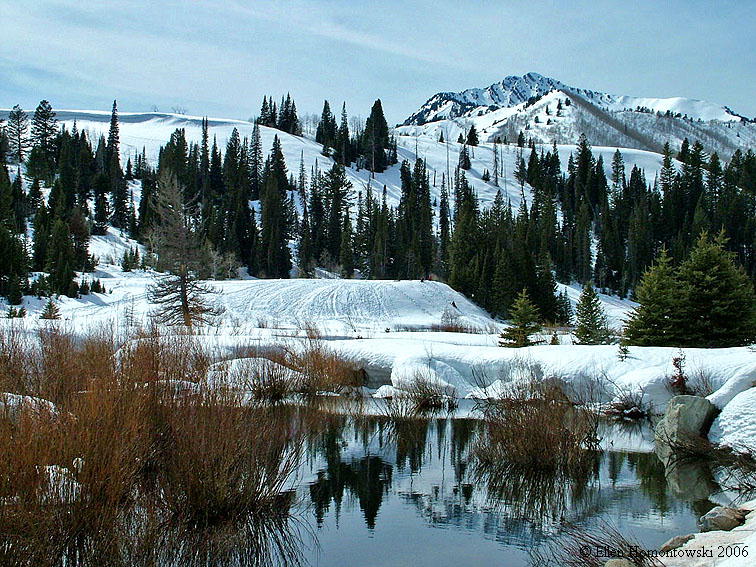
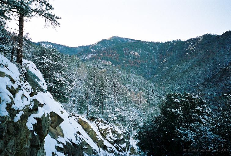
Big Cottonwood Canyon, Wasatch Mountains SE of Salt Lake City, UT |
Bizarre weather below in (literally)
Snow
Canyon, St. George, UT - March 2006 really named after early settlers, Lorenzo & Erastus Snow |
|
|
|
 |
 |
 |
 |
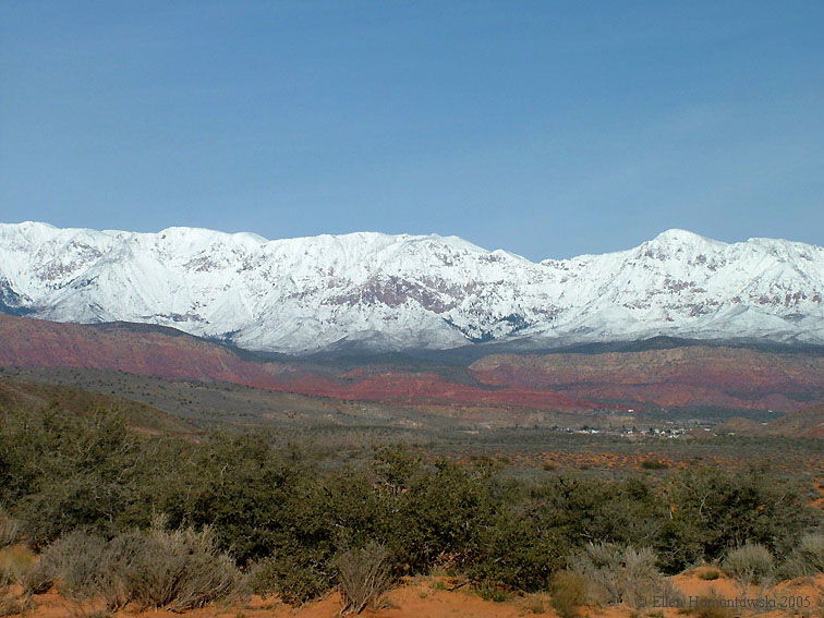
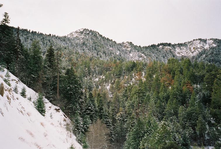
Pine Valley Mountains viewed from Snow Canyon, So. Utah | Pine Valley Mountains viewed from Hurricane, UT |
 |
|
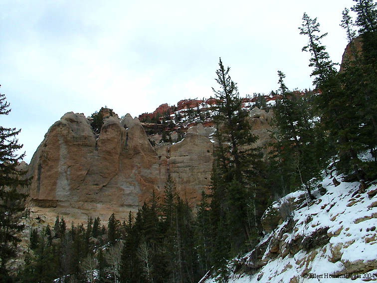
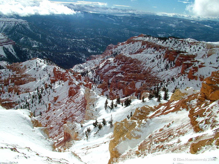
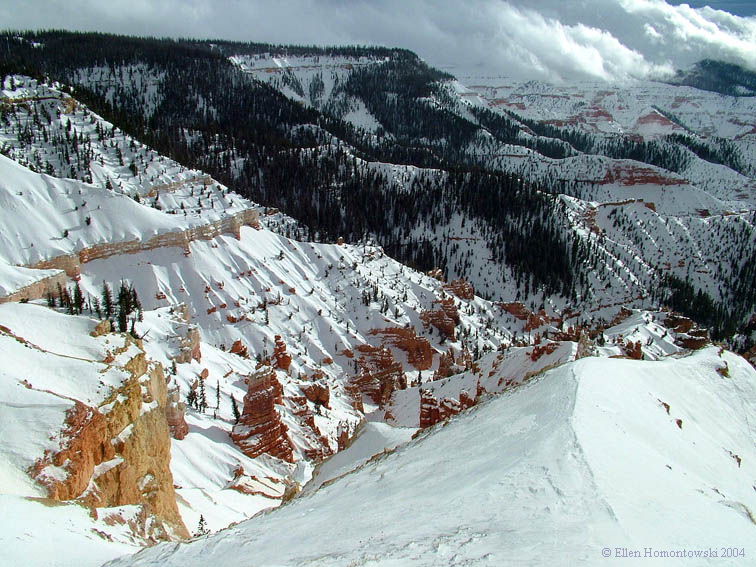
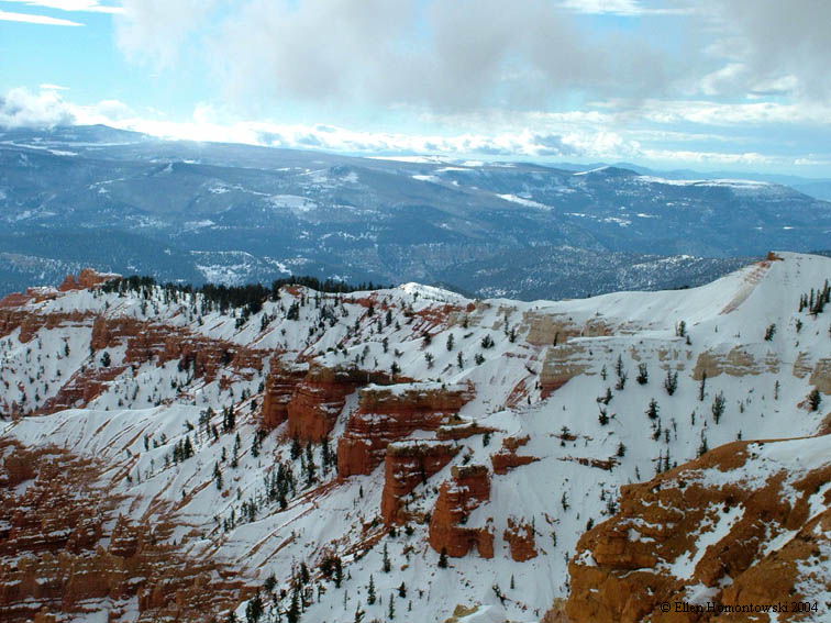
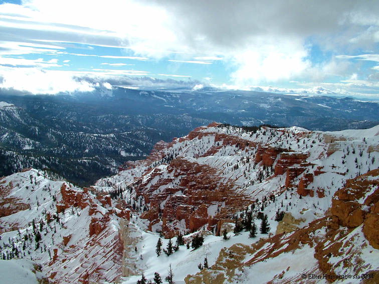
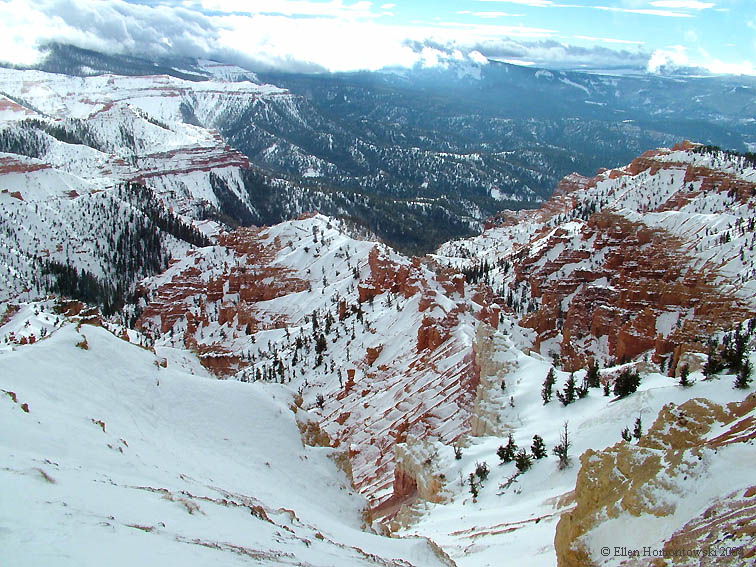
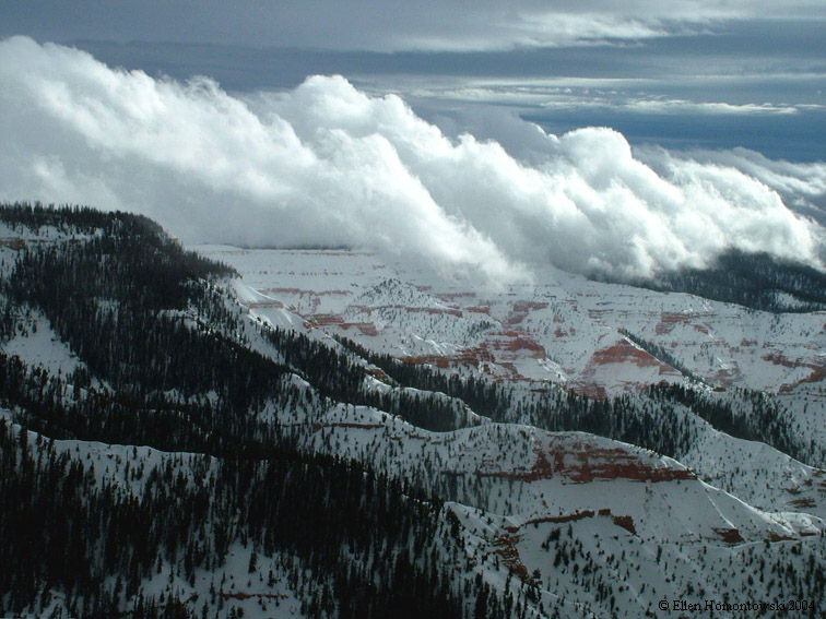
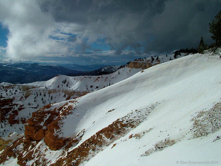
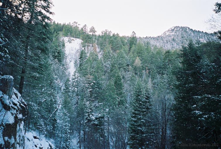
Hwy 143 Nearing Brian Head ski area, & beyond to Cedar Breaks National Monument, Utah |
|
|
|
|
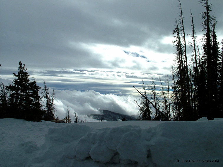
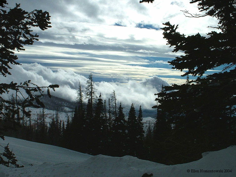
Trudged through very deep tundra and biting winds for these pics! |
 |
 |
 |
 |
 |
 |
 |
| Morning run along the La Verkin River near my home |
 |
 |
This unusual snow melted within a couple hours |
 |
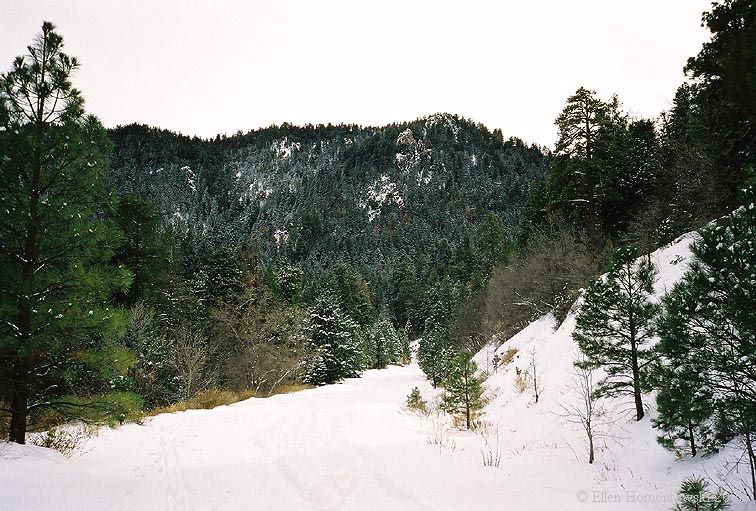
Private lake from Kolob Terrace Rd above Zion NP, UT | More snow in November along Kolob Terrace Rd above Zion NP, UT |
 |
 |
Pewaukee River, Pewaukee, WI | View of Roosevelt Lake from atop Mt. Ord, Sunflower, AZ |
 |
 |
Not as clear of a view of Roosevelt Lake atop Four Peaks, AZ | Snow doesn't last very long on Four Peaks, AZ |
 |
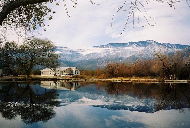 |
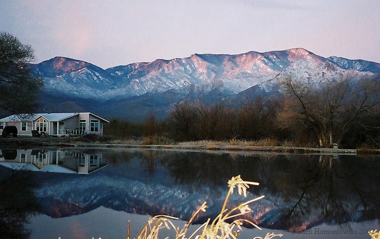
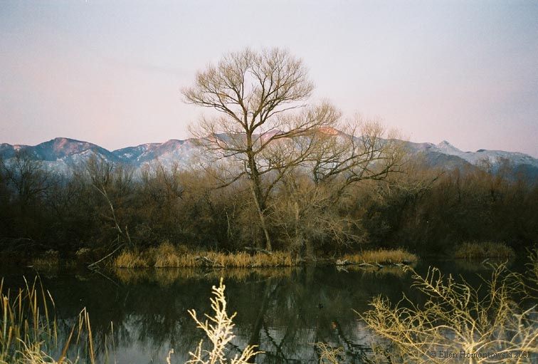
Snowy Pinaleno Mts. reflection, Safford, AZ | Early sunrise on the Pinaleno Mts., Safford, AZ |
 |
 |
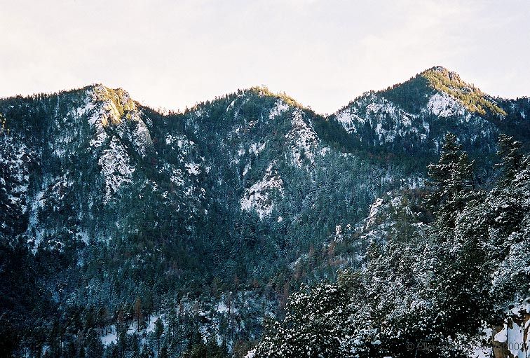
Pinaleno Mountains from Safford, AZ | Pinaleno peaks, Swift Trail (Hwy 366) Safford, AZ |
 |
 |
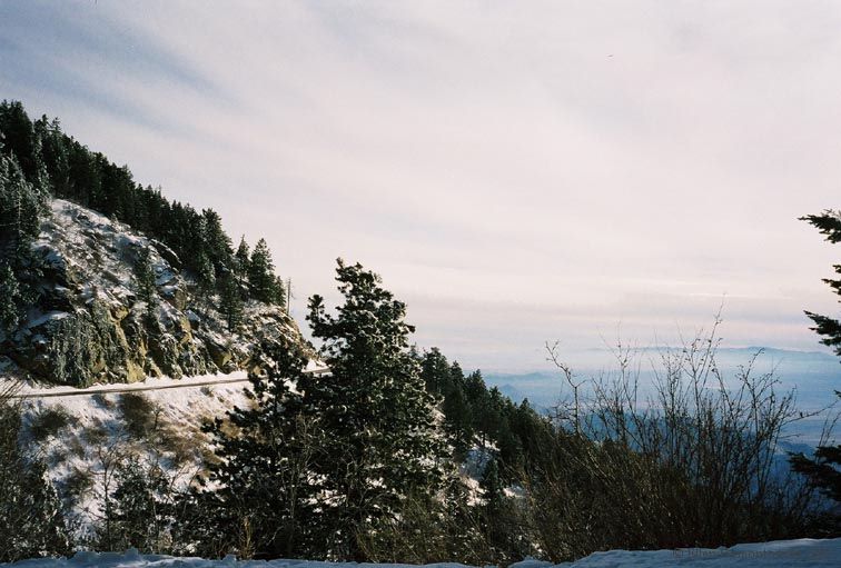
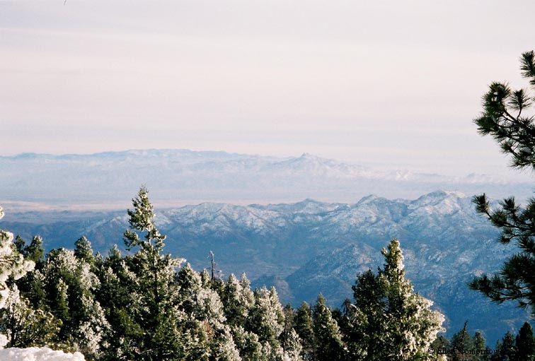
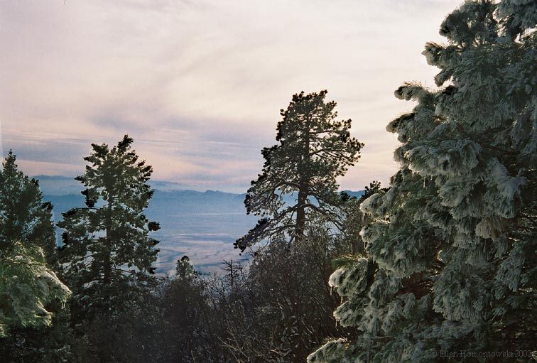
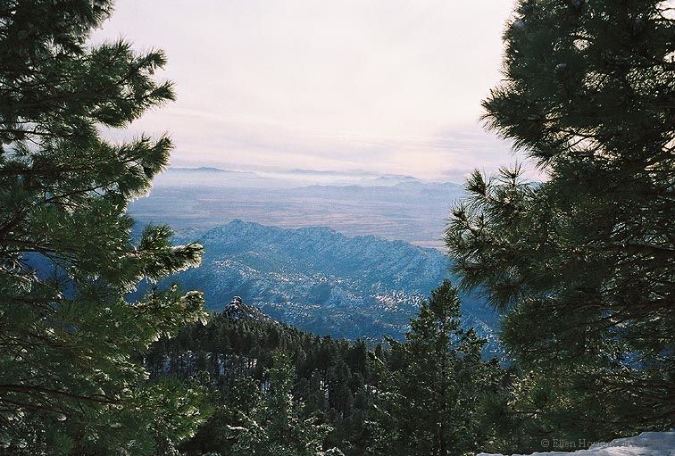
Mt. Graham, Pinaleno Mts., AZ | Heliograph Peak, Pinaleno Mts., AZ |
 |
 |
Snow Falls! | Perfect X-country ski trail! |
 |
 |
From X-country ski trail viewing Apache National Forest | Snow-capped Apache National Forest beyond Safford, AZ |
 |
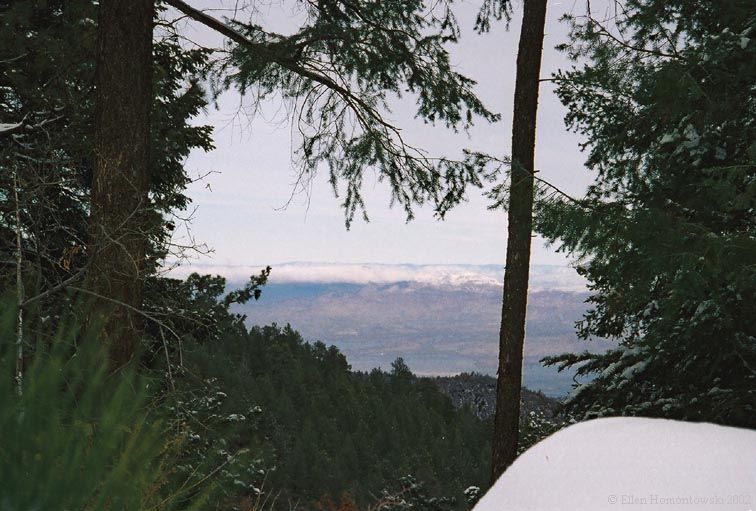 |
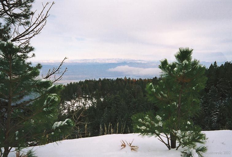
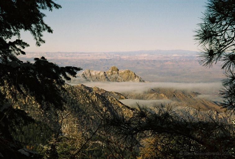
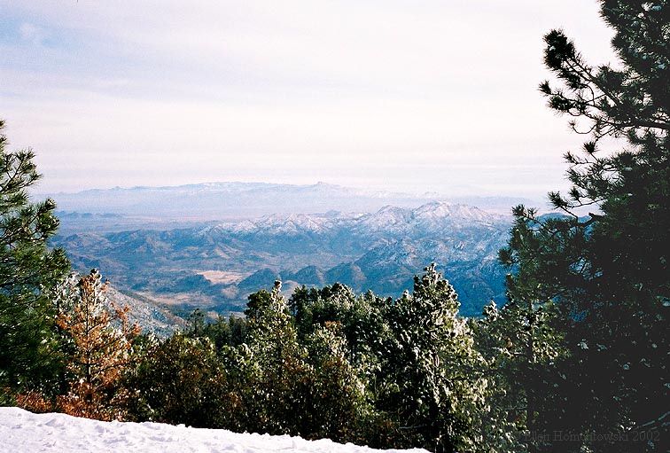
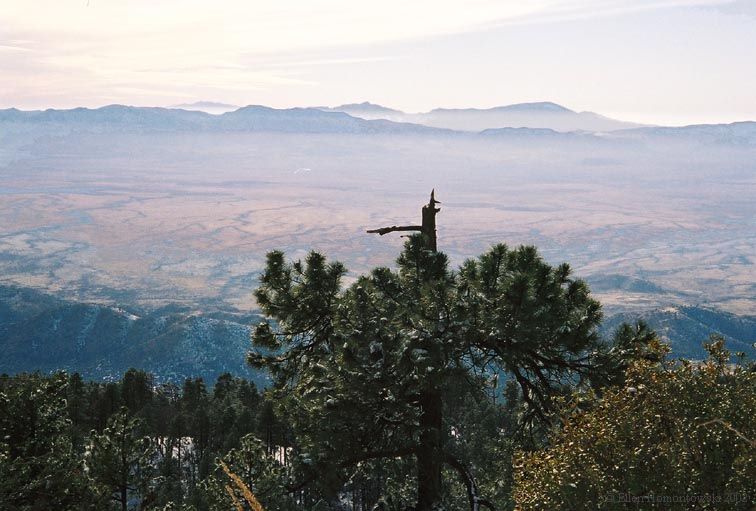
Snow peaks and low clouds between the trees | Viewing N-NE towards San Carlos Indian Reservation |
 |
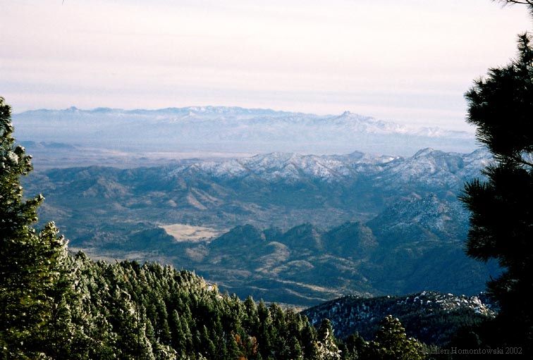 |
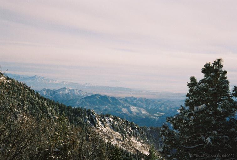
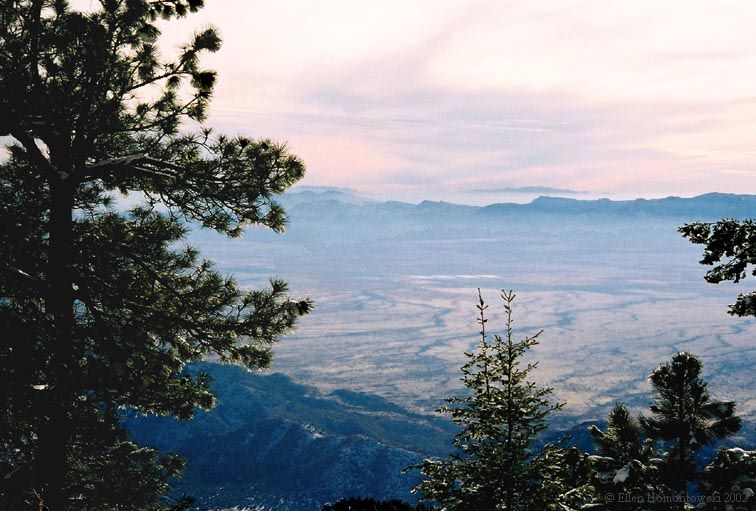
From Swift Trail viewing SW-W, more Coronado National Forest | Enjoy the Swift Trail views! |
 |
 |
 |
 |
 |
 |
 |
 |
 |
 |
Christmas Trees at Shannon campground, Pinaleno Mts, AZ | Don't eat the yellow snow! |
 |