Copyright
© Ellen Homontowski
2001-2016
All rights reserved.
Powered by Doteasy
Utah's
Basin & Range Areas
*Click photos to enlarge*
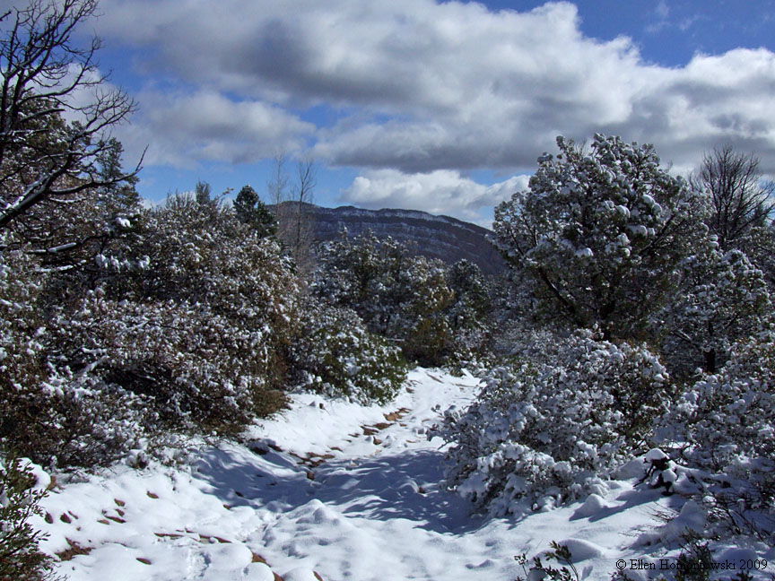
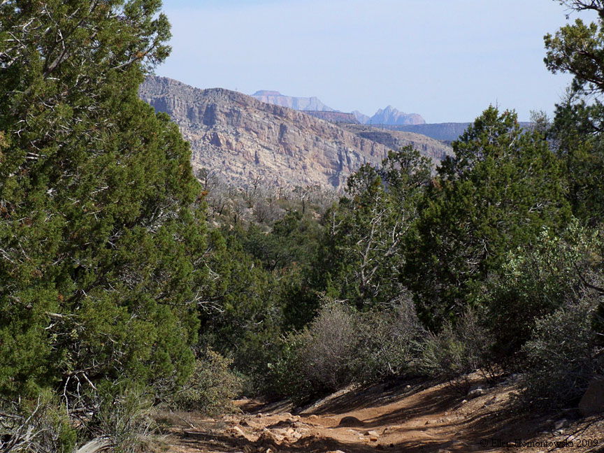
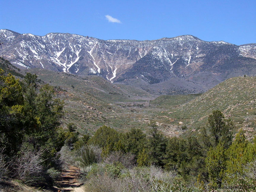
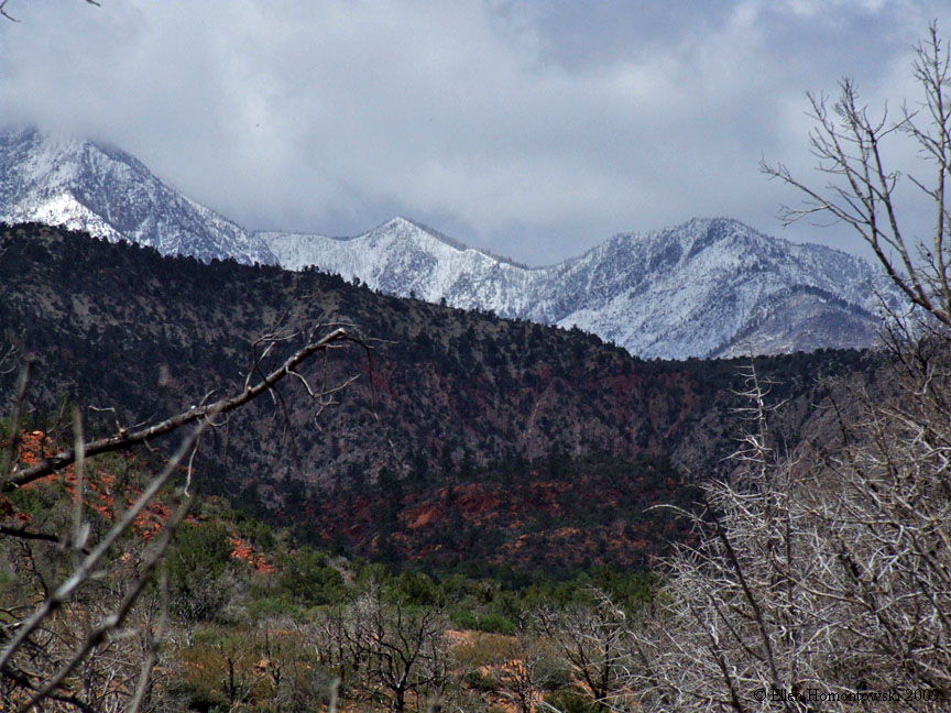
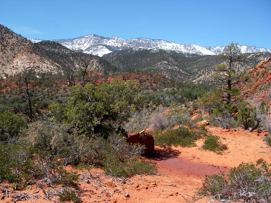
| Wet Sandy Trail goes into the Pine Valley Mts from I-15, north of Toquerville. The lower few miles of the canyon is no longer with water due to re-routing (for what we don't know yet), and the old dirt road trail ends after about 1.5 miles where you now join the new maintenance road at a fenced reservoir. If followed up a couple more hours on this new maintenance road to the end you can join up with the old dirt road for a while longer till brush takes over. Supposedly it is/was 17 miles one-way from start to Pine Valley through the mountains but we never got that far! Spectacular views and pretty hiking in winter |
 |
||
 |
 |
 |
 |
 |
 |
 |
 |
 |
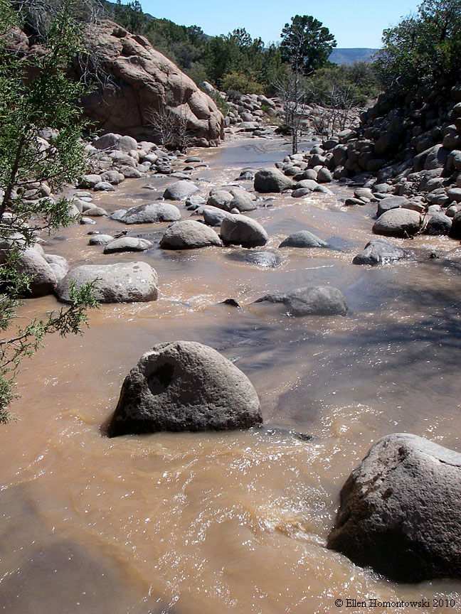
After the maintenance road ended and back on the old trail (left); water that no longer exists in the wash (right) |
 |
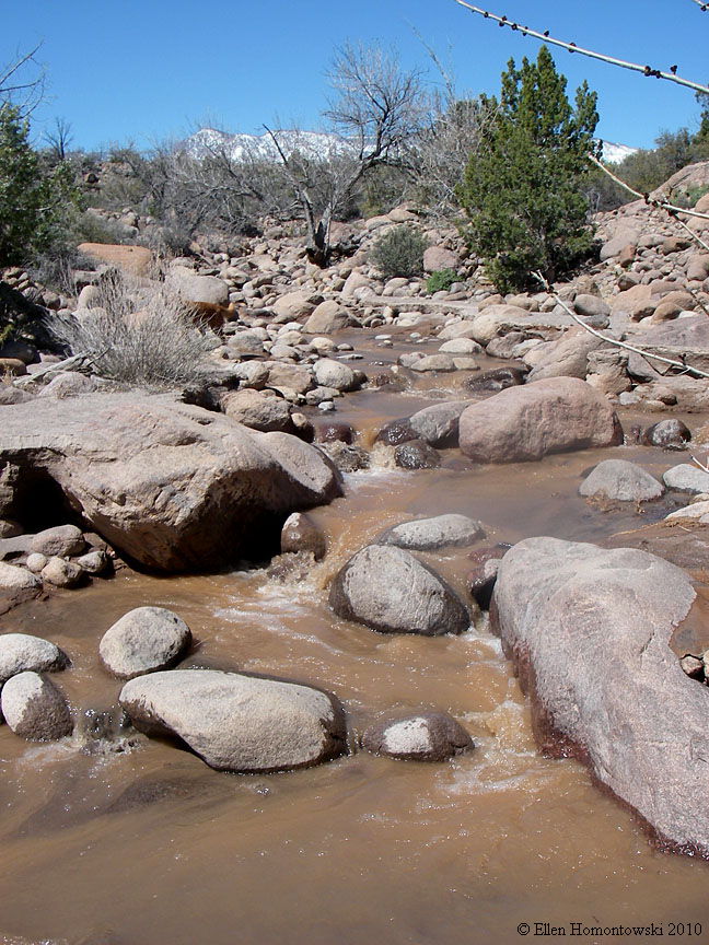 |
| Another canyon north of Wet Sandy is the Dry Sandy Trail. This is a bit hot in summer (great in winter) and better hiking after a rain due to the difficulty in sand. Wind is blocked by the canyon walls most of the way, but has now been blocked off to 4-wheelers. This, too, eventually ends in brush |
 |
 |
|
 |
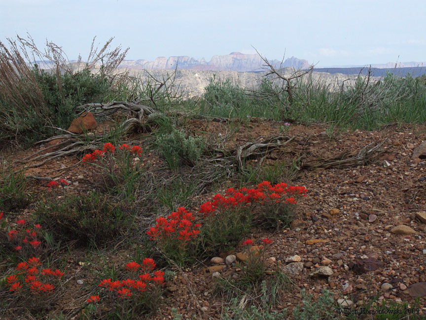
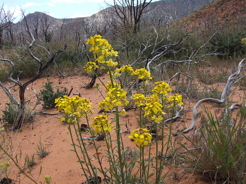 (see more of these desert flowers) |
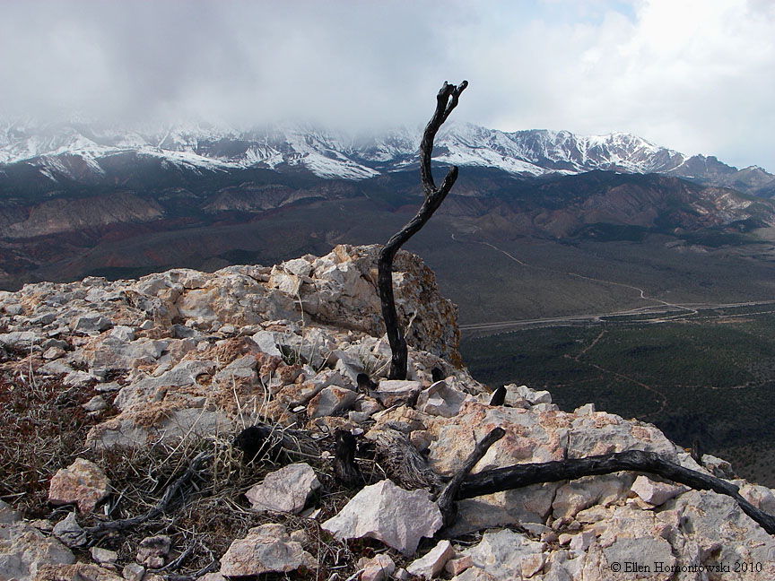
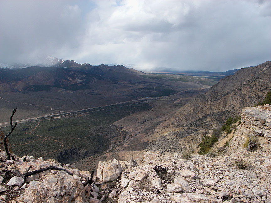
Views from our turn-around point, making the hike about 6-miles RT. The hike can be continued below this point heading up another trail from the wash but it ends in brush |
 |
 |
 |
 |
 |
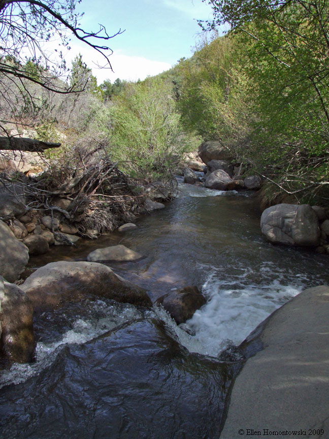
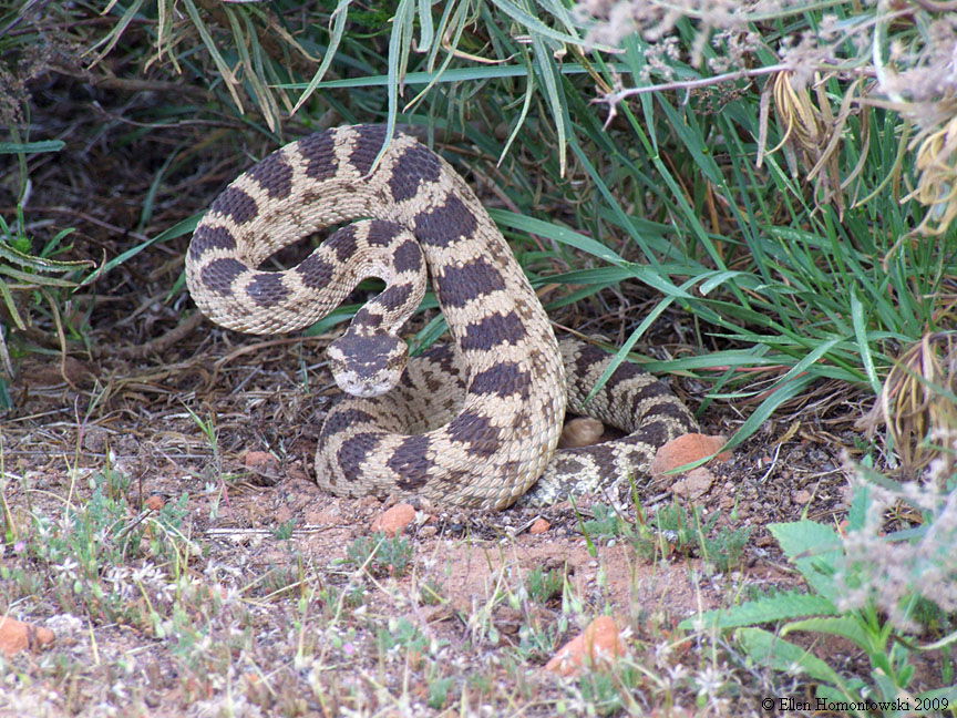
| Further north, the Browse exit from I-15 drives up a ways where some folks camp and hang out in the creek. There are trails that meander from this road for hiking, etc., with great views. Watch out for snakes! |
 |
 |
 |
 |
 |
 |
 |
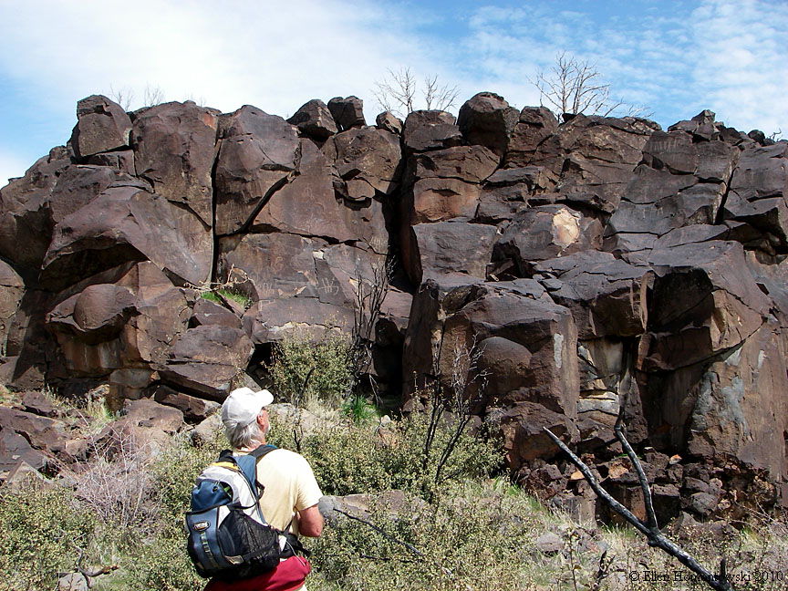
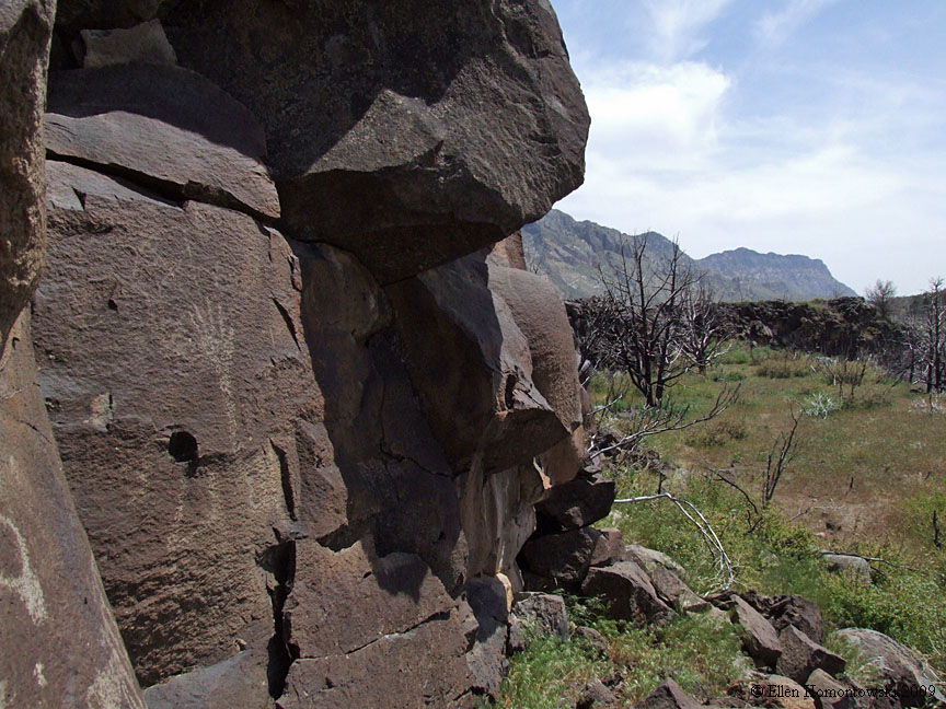
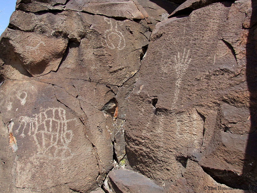
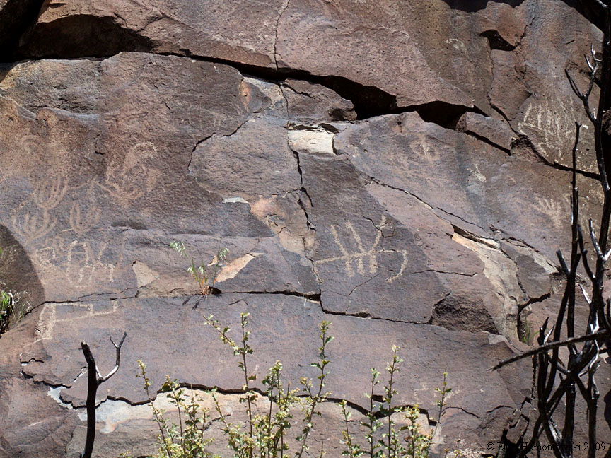
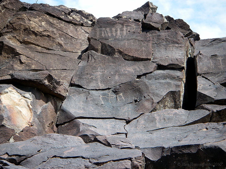
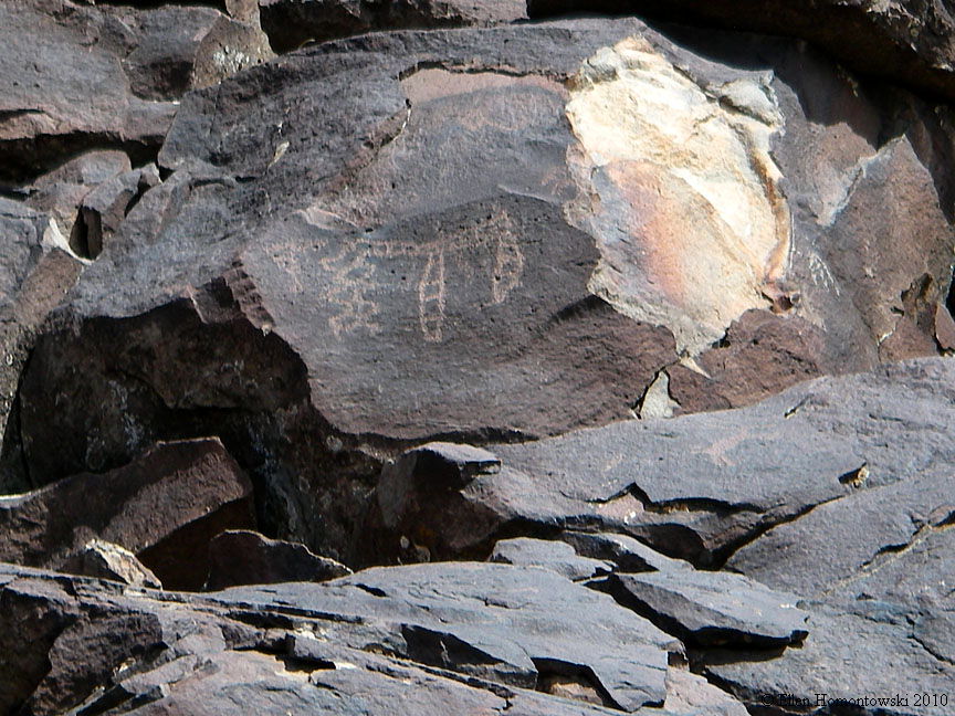
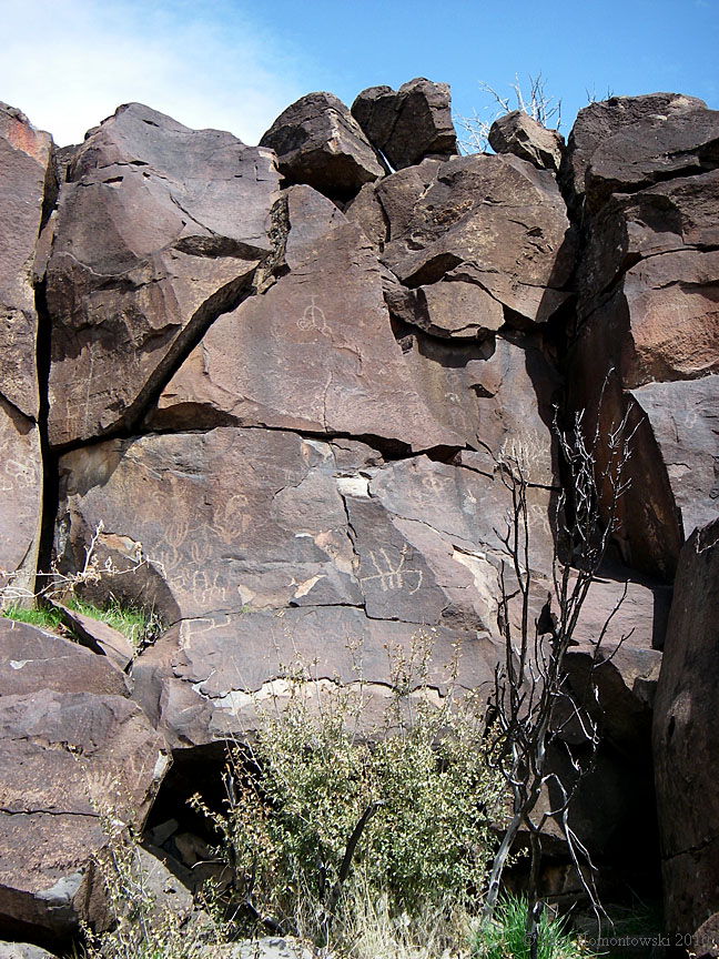
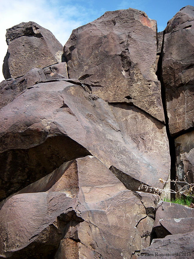
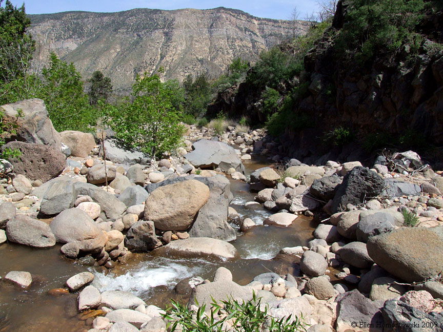
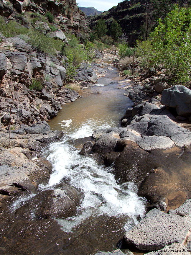
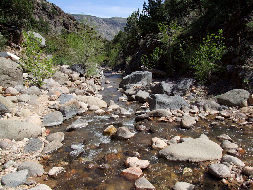
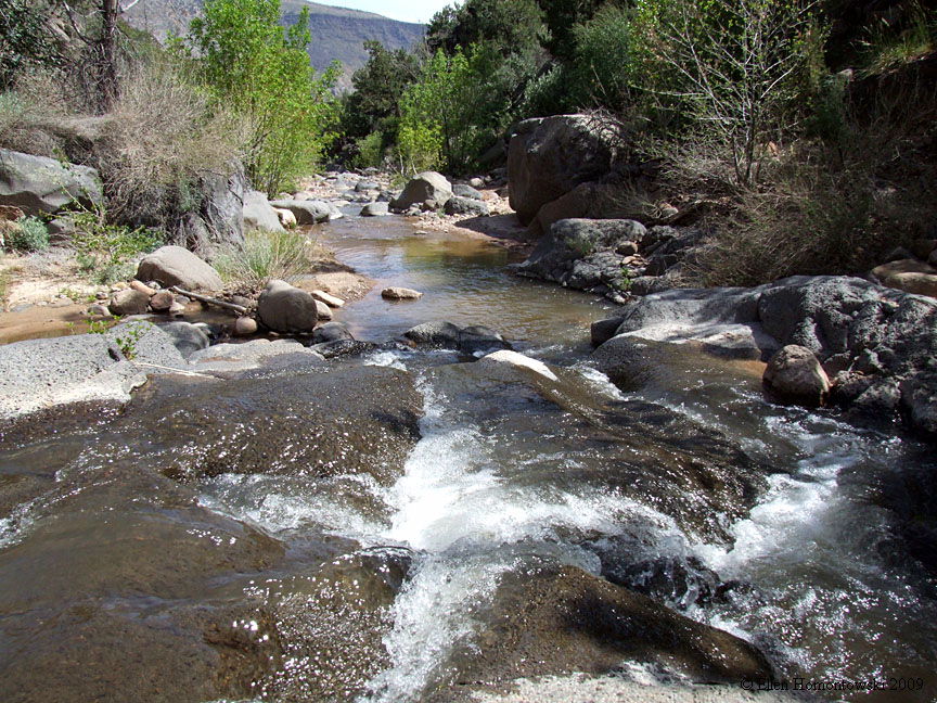
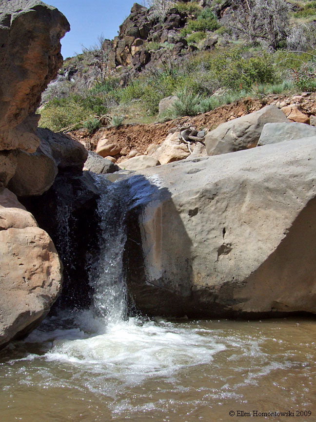
| This next hike north of Browse is a water hike in Leap Creek, very refreshing in the summer. In the first half mile if you look hard enough you can find a huge wall of petroglyphs |
 |
 |
 |
 |
 |
 |
 |
 |
 |
 |
 |
 |
 |
 |
 |
 |
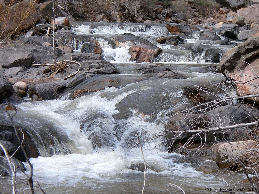 |
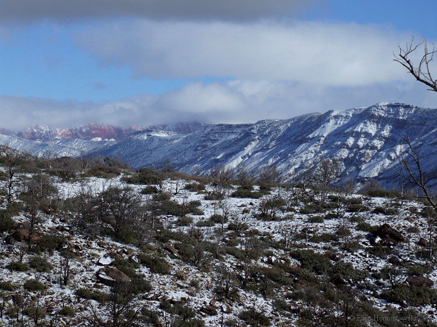
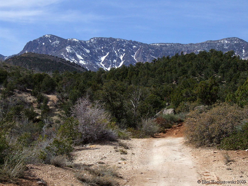
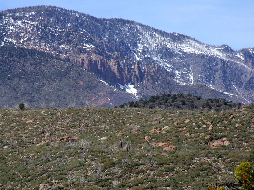
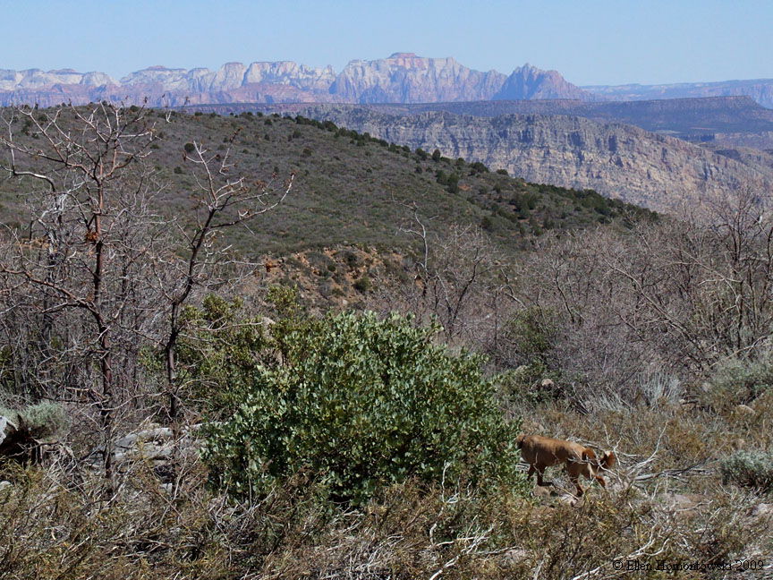
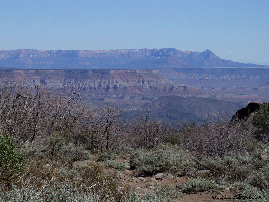
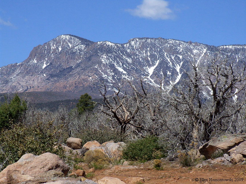
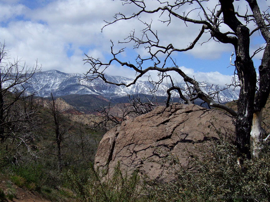
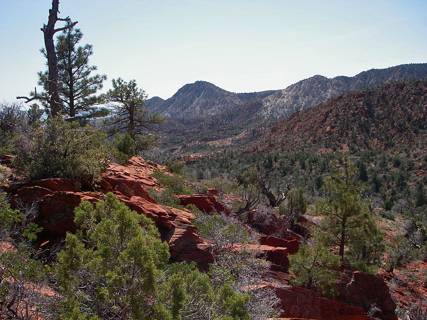
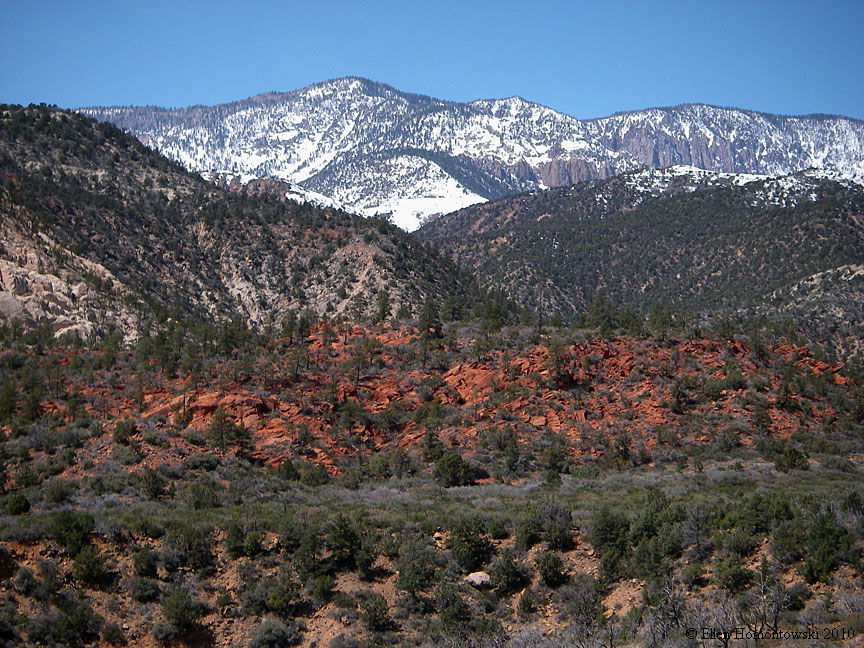
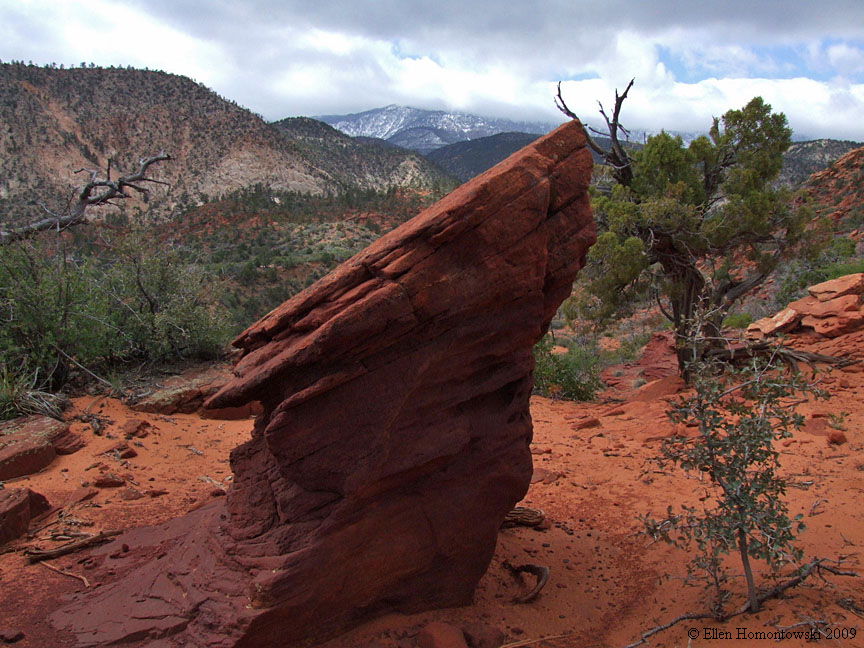
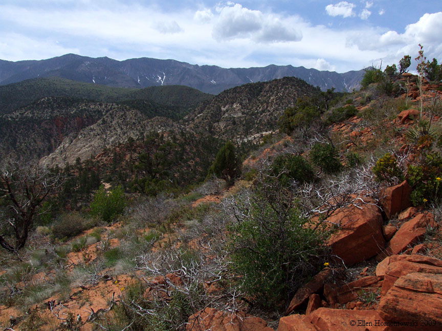
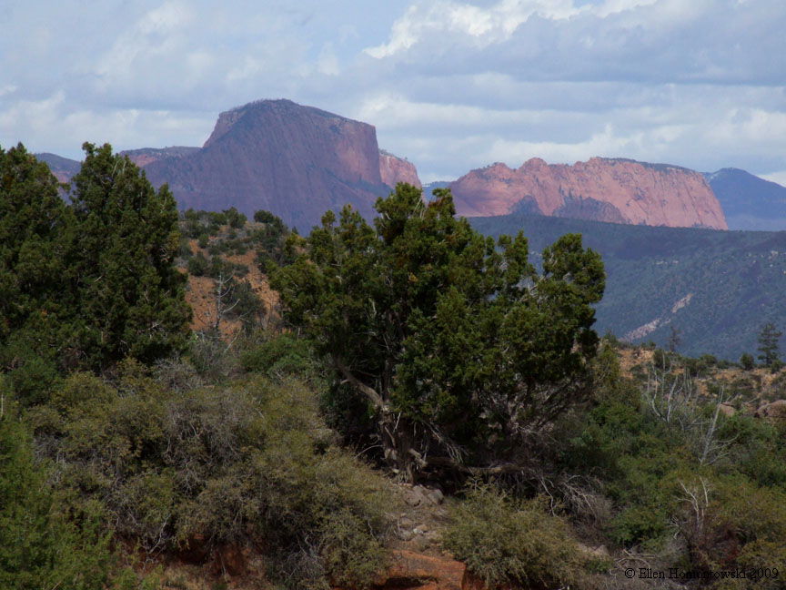
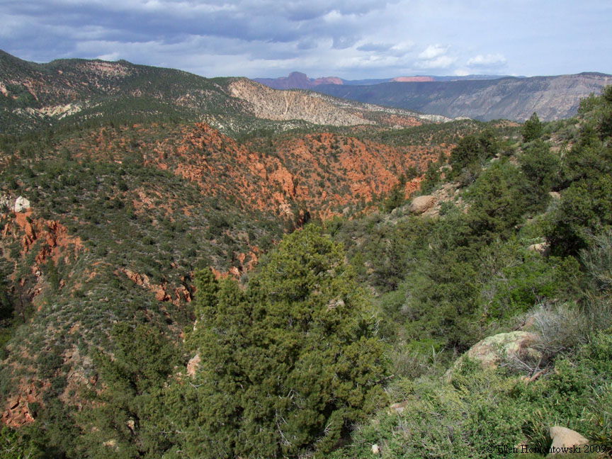
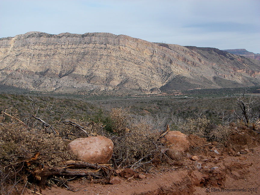
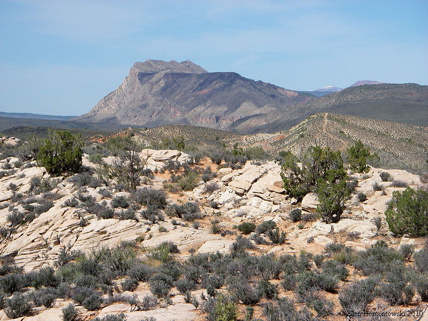
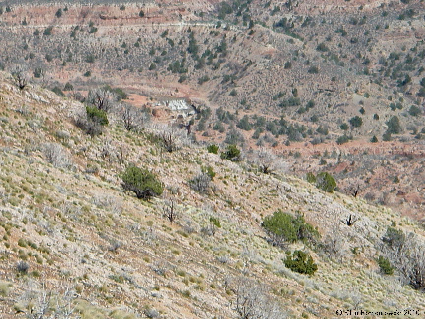
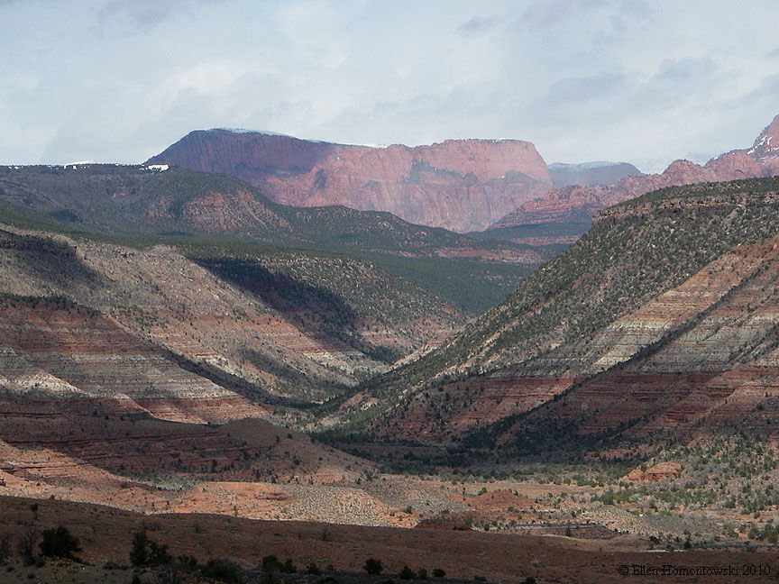
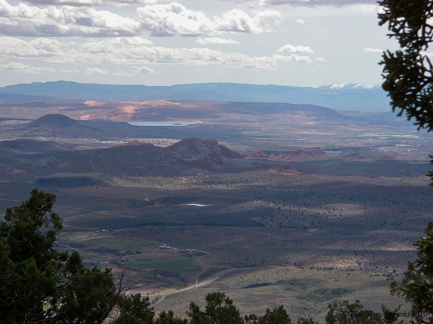
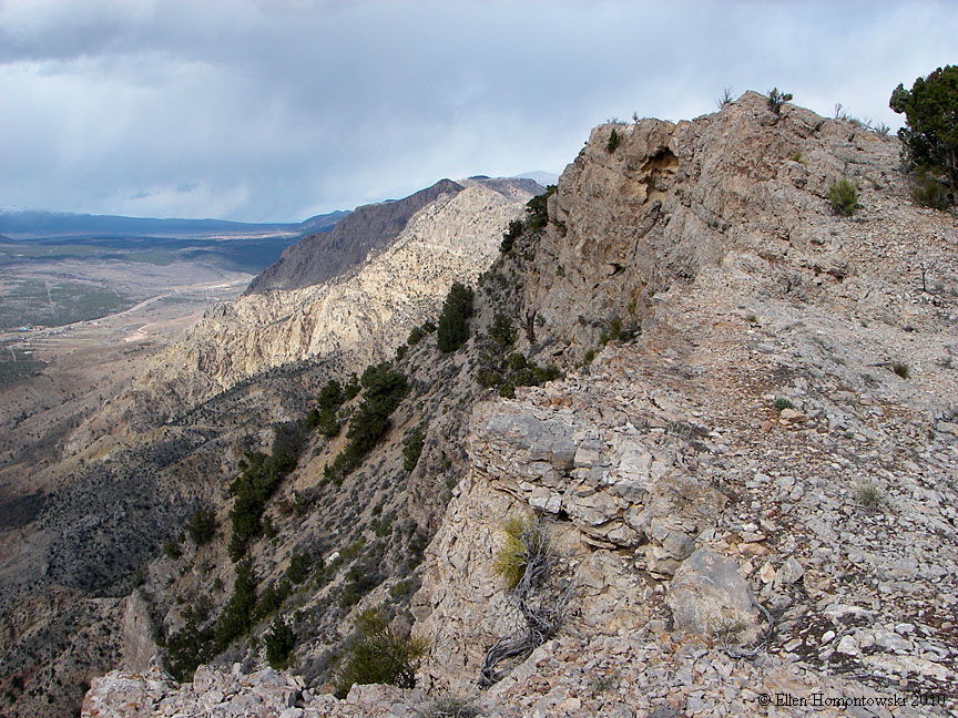
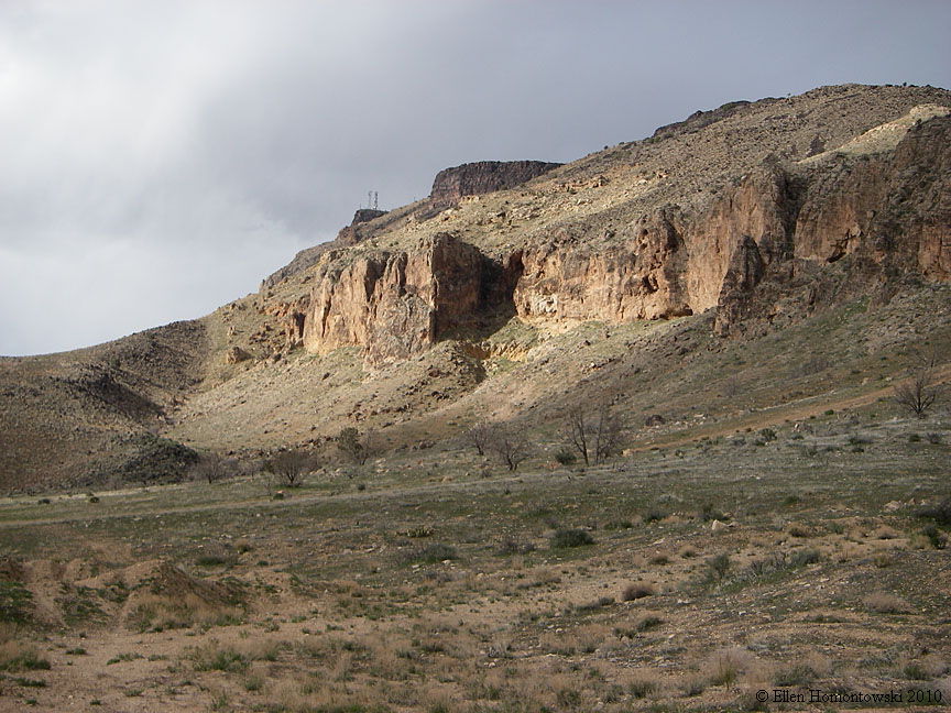
The Black Ridge is the eastern edge of the Basin & Range and west of the Colorado Plateau (Horse Ranch Mt in Zion NP, 4th image below). Our hike on this area of the Black Ridge began on a narrow dirt road that forked off from the "Toquerville Falls" road (really the falls are of LaVerkin Creek, 3rd image below, zoomed-in & blurry). Hiking up the steep anticline past the communication towers gave us gorgeous views! The 1st image of a distant view of the ridge was taken from the old Wet Sandy Trail and the 2nd image is from one of our hikes we take from home in LaVerkin. |
|
 |
 |
 |
 |
 |
 |
 |
 |
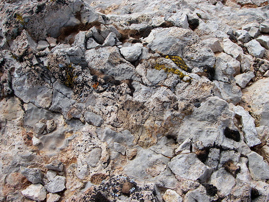 |
An ancient fossil--the sea bottom moved up this high (left); exiting the canyon (right) |
 |
 |

Dry Sandy turn-around point