Copyright
© Ellen Homontowski
2001-2016
All rights reserved.
Powered by Doteasy
Misc Hikes & Views
Near Zion National Park
*Click photos to enlarge*
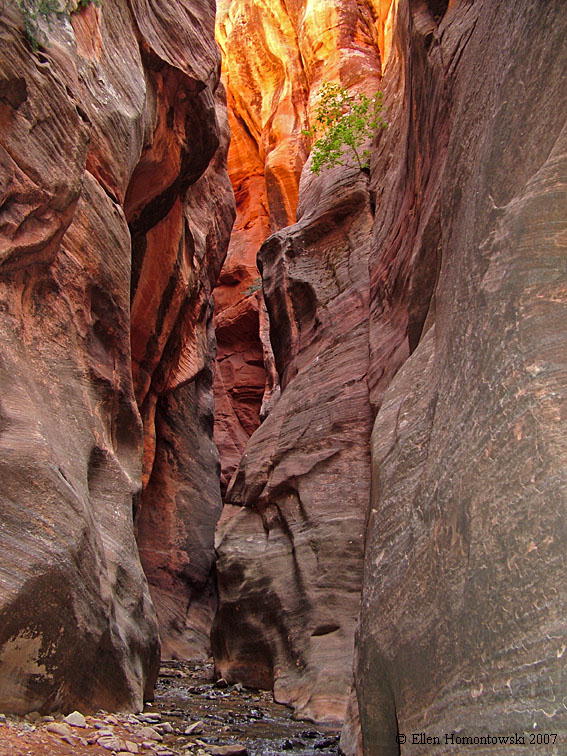
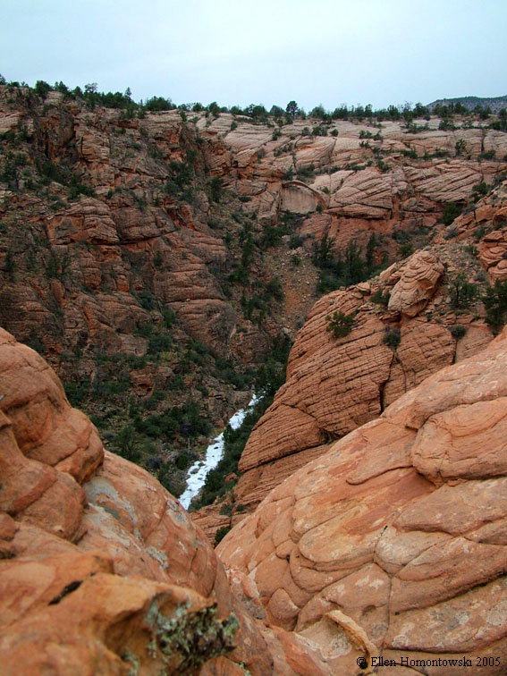
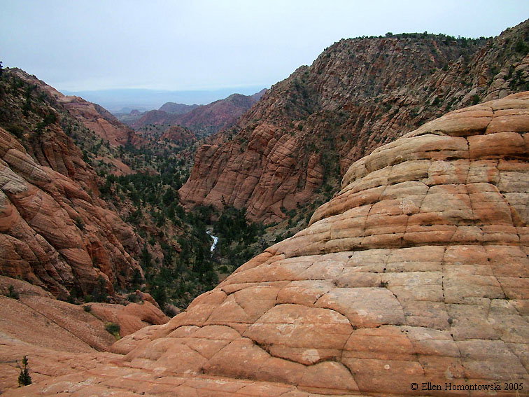
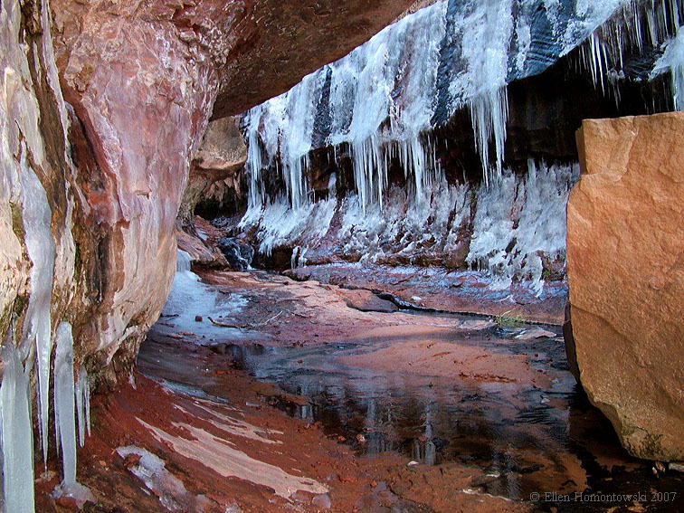
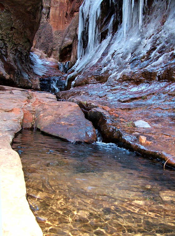
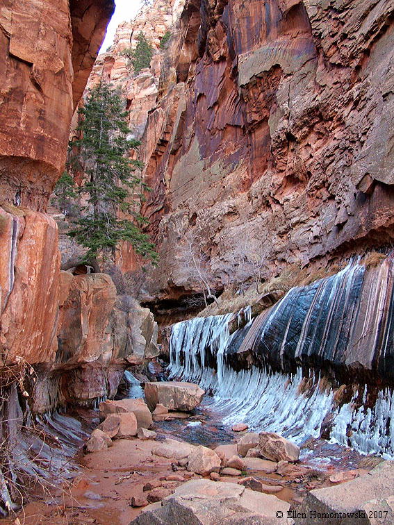
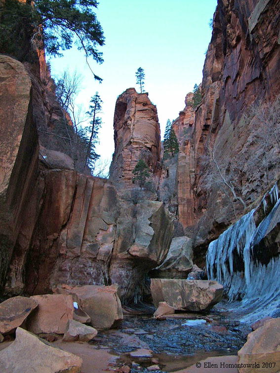
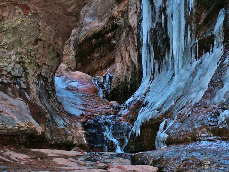
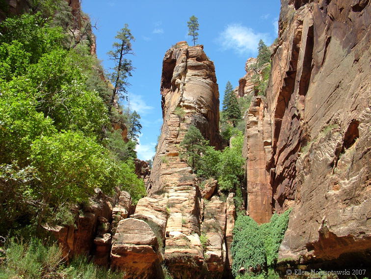
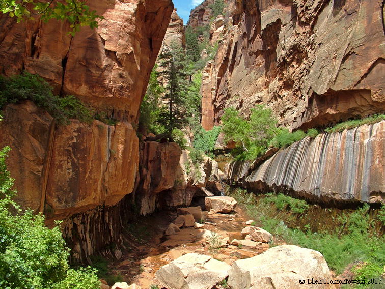
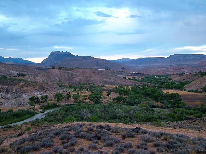
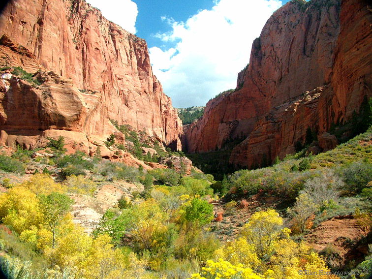
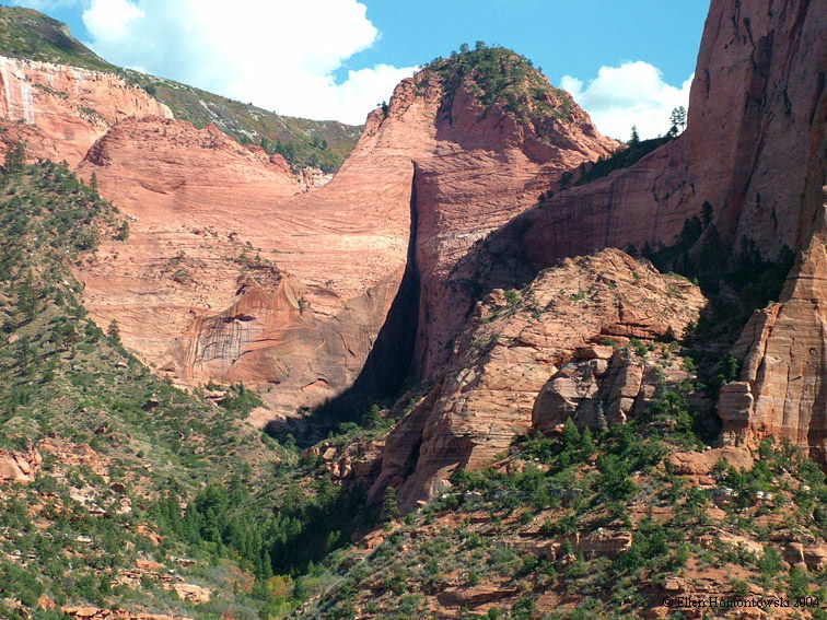
| Kanarra Canyon (also see
Kanarra Creek waterfalls) |
.jpg) |
 |
.jpg) |
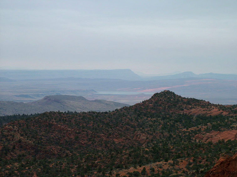
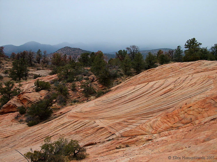
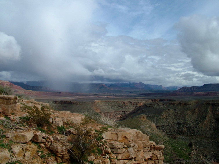
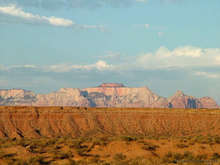
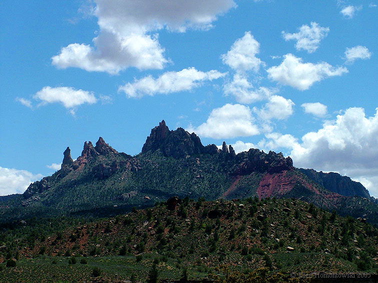
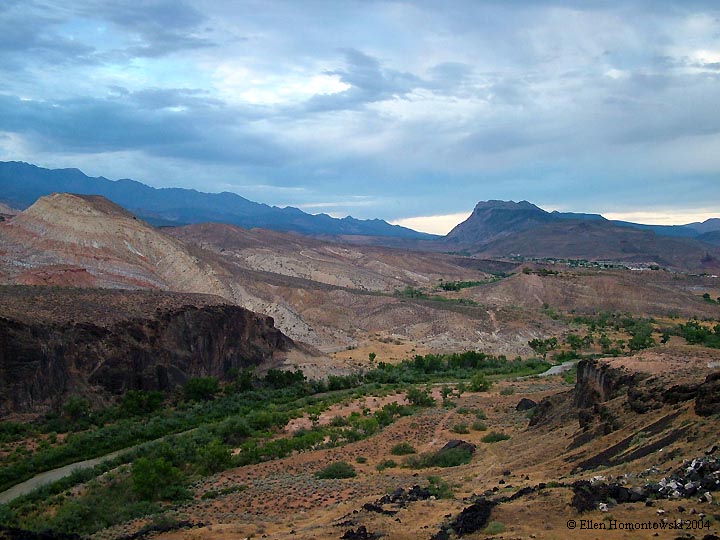
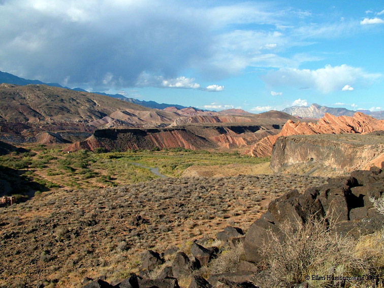
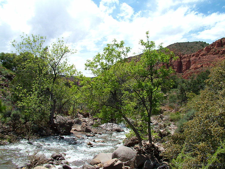
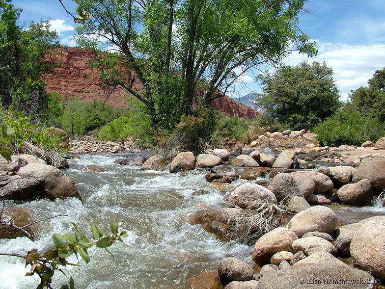
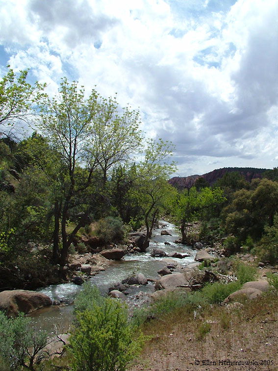
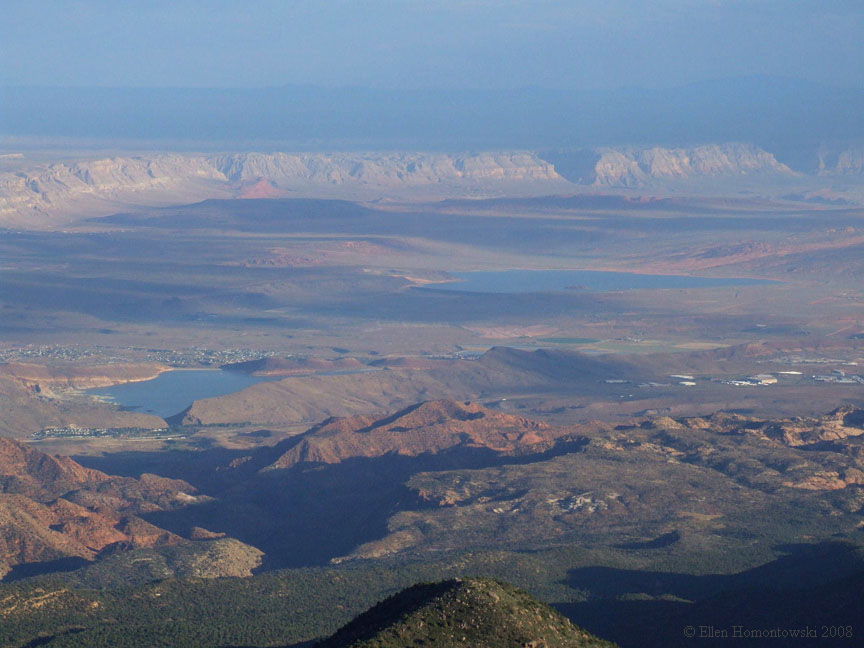
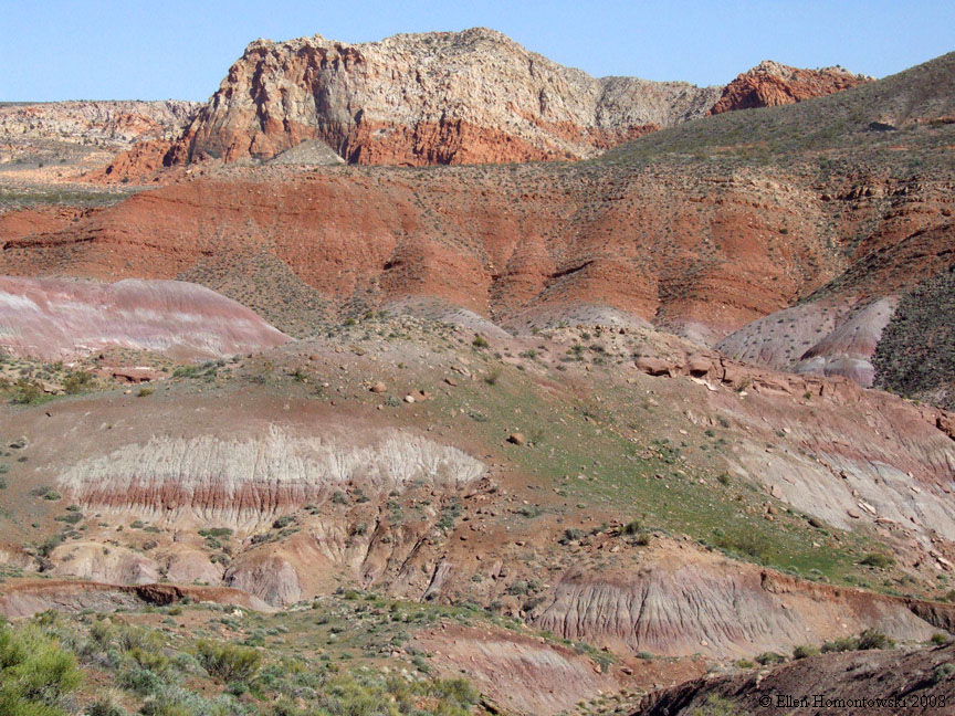
| Above the Red Cliffs from Silver Reef | |||
 |
 |
|
 |
 |
 |
|
 |
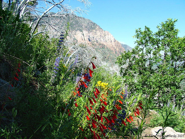
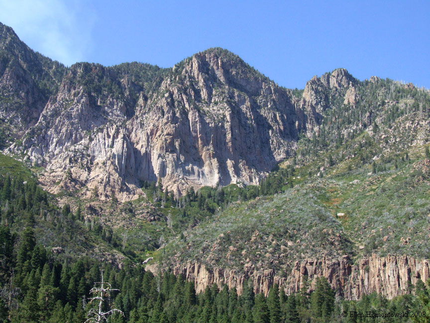
| Oak Grove Trail in the Pine Valley Mountains |
 |
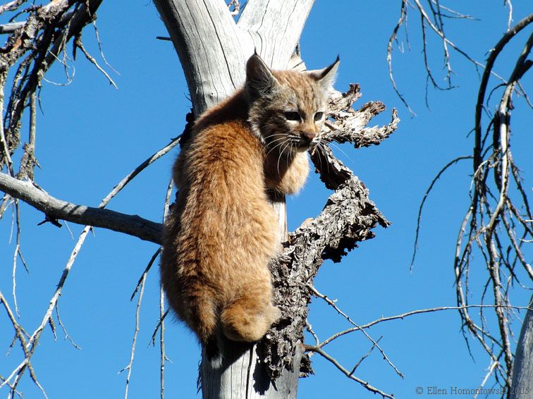
'Kitty' posed for me on the Oak Grove trail |
 |
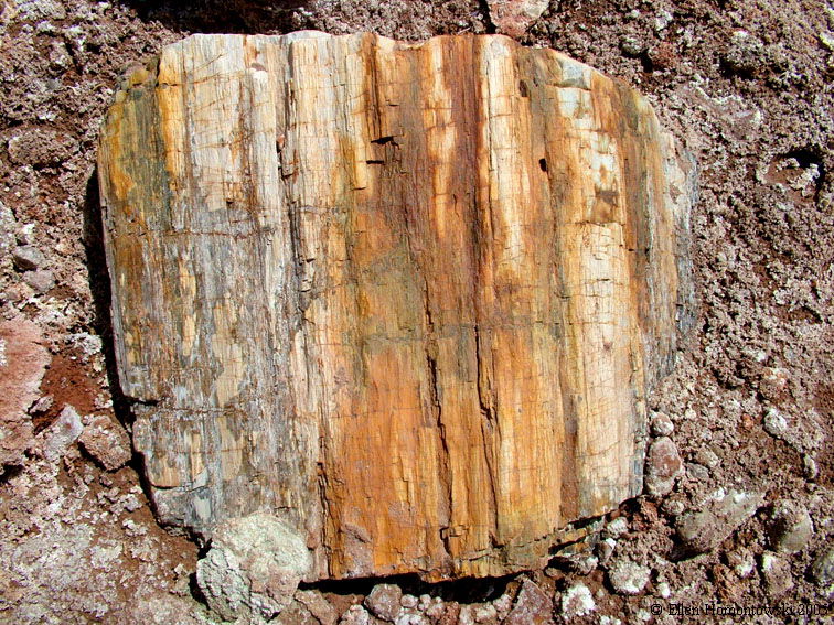 |
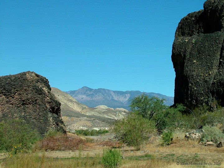
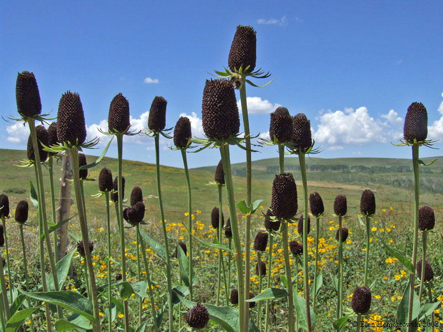
Huber Wash (SE corner of Zion) is known for petrified wood |
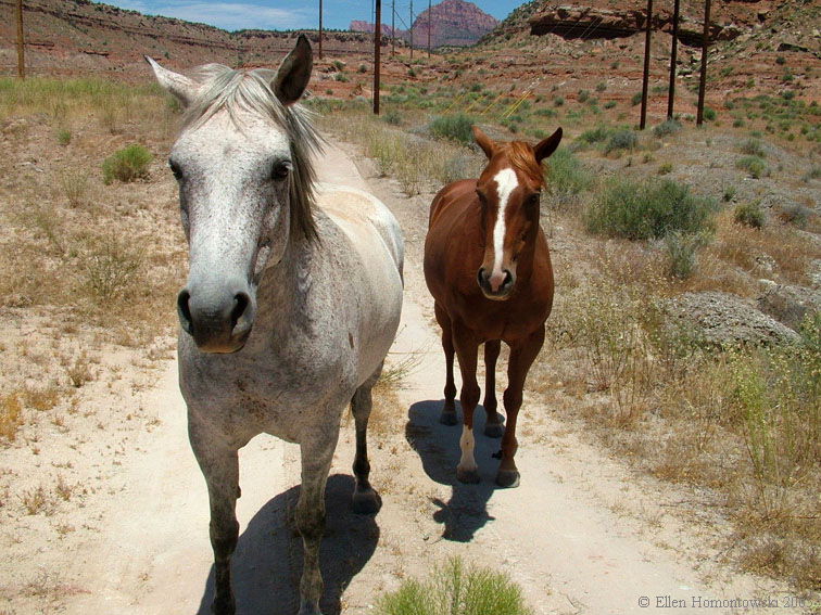
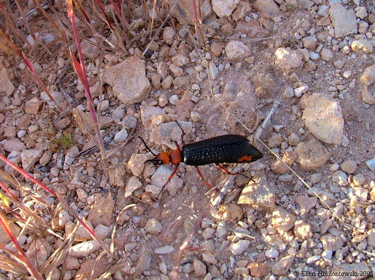
A couple new friends I made followed me on the way out of the wash |
 |
 |
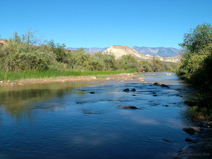
Virgin River (left), and Zion buried in the clouds (right) |
 |
 |
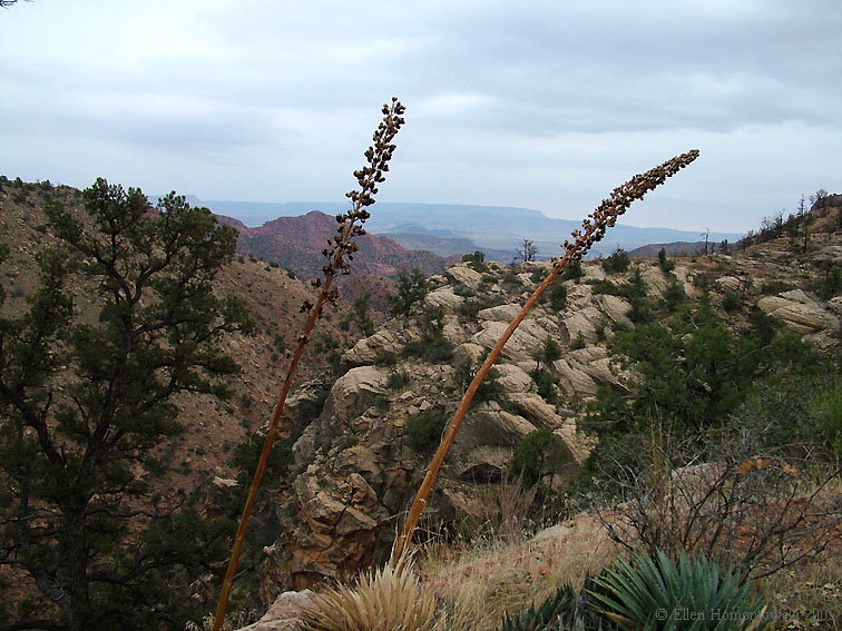
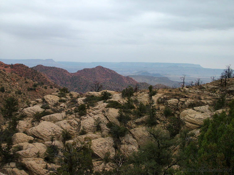
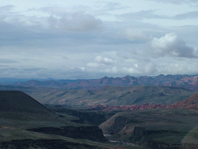
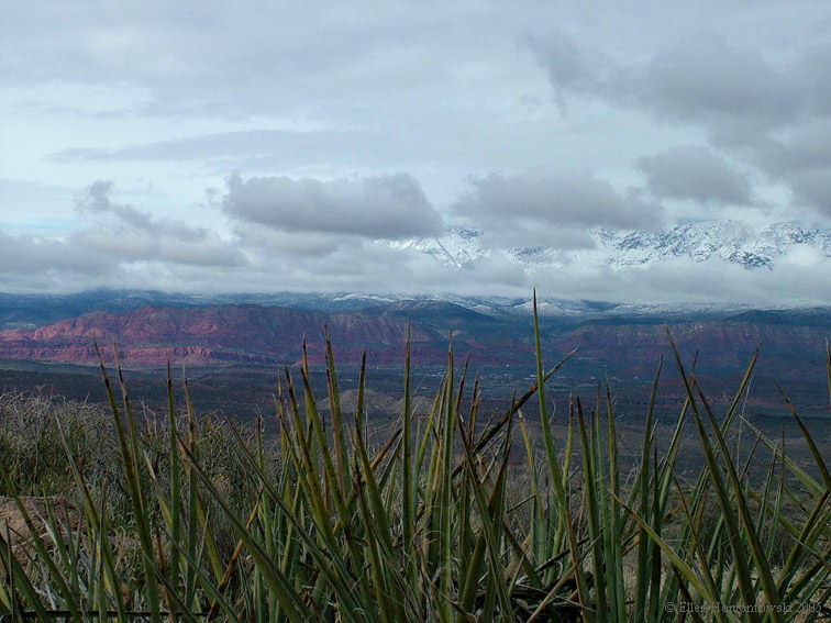
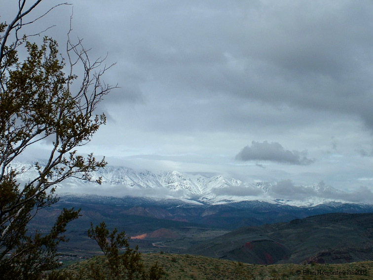
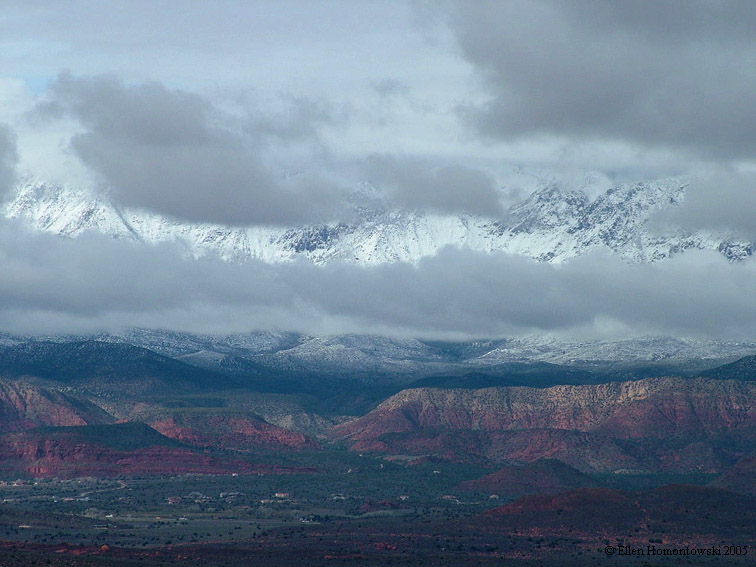
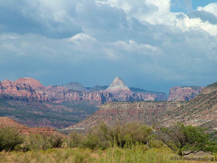
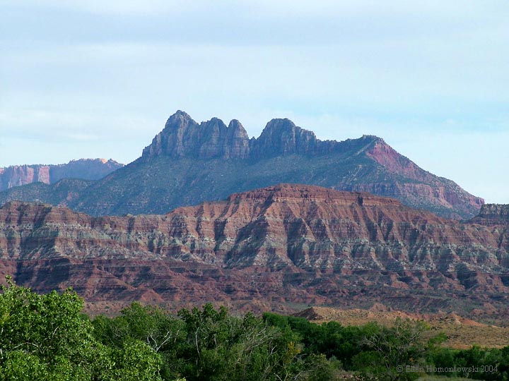
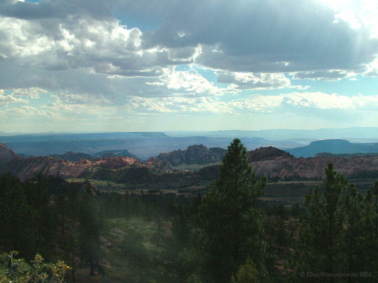
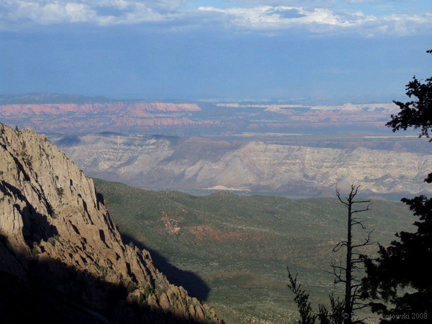
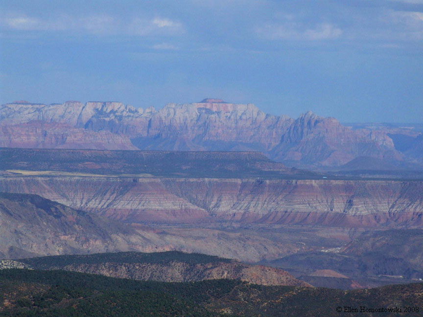
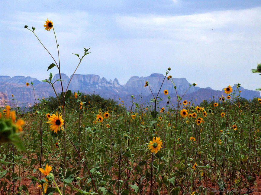
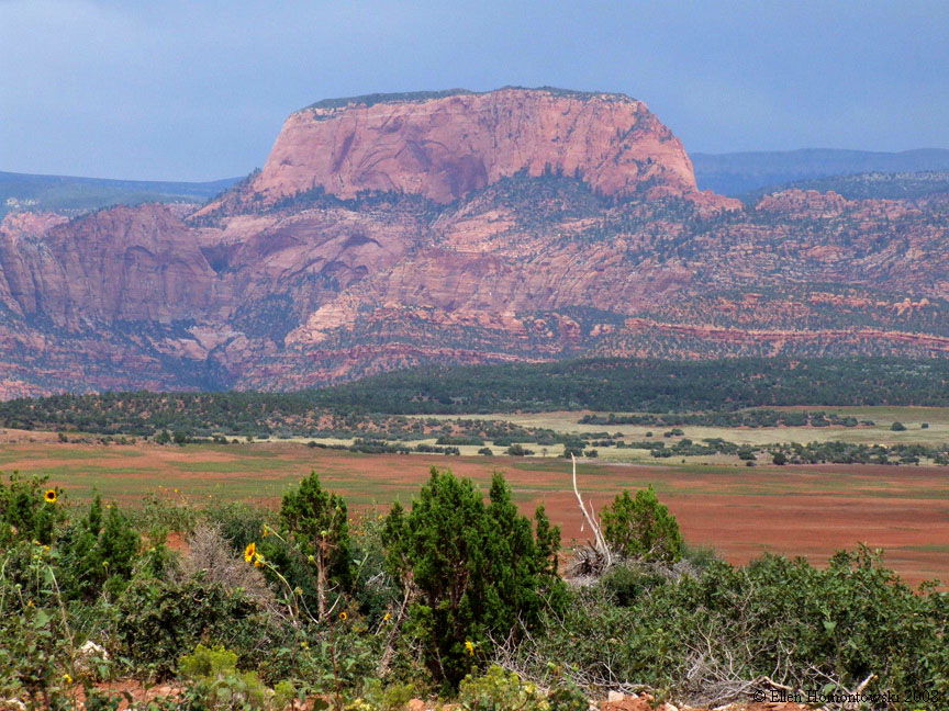
| 3 above and 4 below (viewing Pine Valley Mountains) from LaVerkin Overlook | |||
 |
 |
 |
 |
|
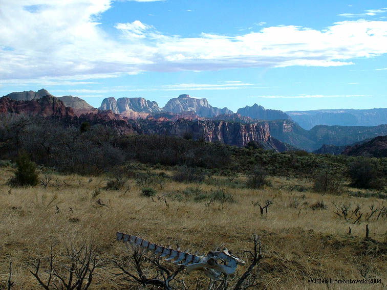
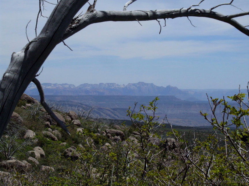
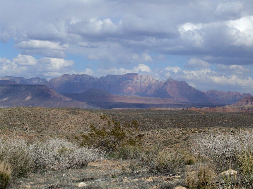
Outside Zion from the West (from Hwy 59) |
 |
 |
|
|
Views from Hwy 9 from Hurricane to Springdale |
 |
 |
 |
 |
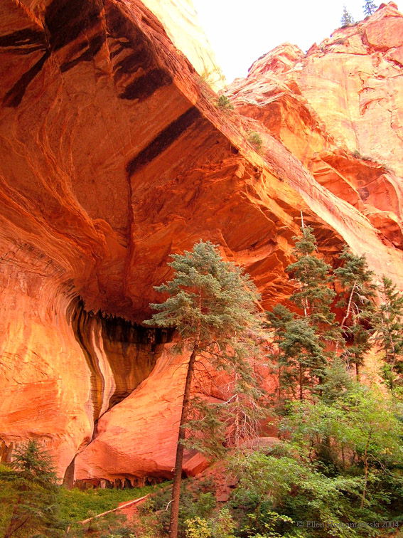
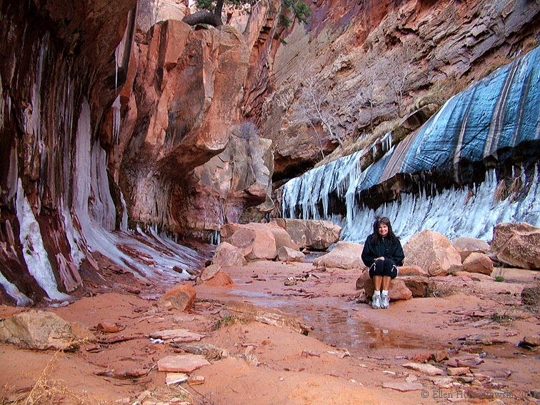
The warmer part of Water Canyon in March (from Hilldale) |
And continues to an icicle alcove (trail goes all the way to Eagle's Crag) |
 |
 |
 |
 |
 |
| Water Canyon in Summer - check out Bigfoot :) |
 |
 |
 |
|
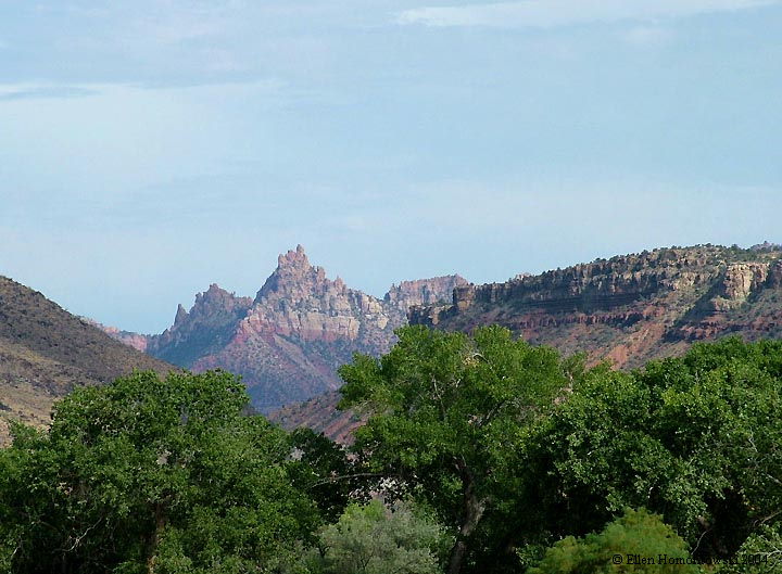
Eagle's Crag from Springdale, outside of Zion |
 |
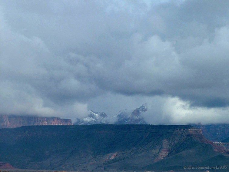
Below, views from the Rim Trail above Hurricane & LaVerkin, UT, and snow-dust view from LaVerkin Overlook | |
 |
 |
 |
 |
 |
 |
Quail Creek Reservoir (left), Rainbow from Hwy 59, Hurricane (right) |
 |
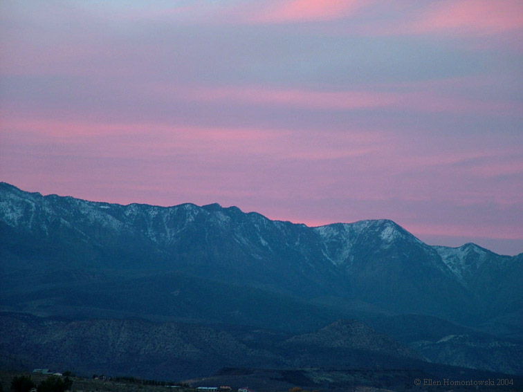 |
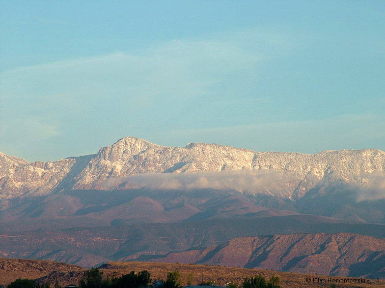
Pine Valley Mts from my porch in LaVerkin, daybreak to noon |
 |
 |
|
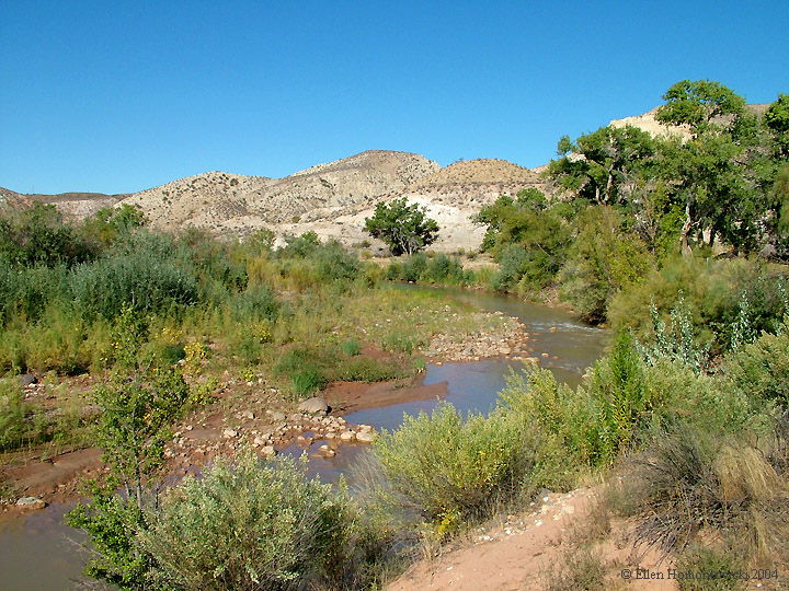
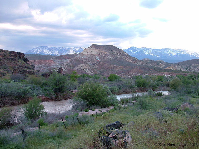
The Virgin River in LaVerkin, between Zion & St. George |
 |
 |
 |
 |
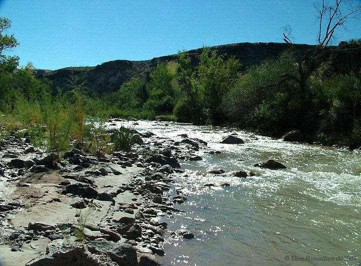
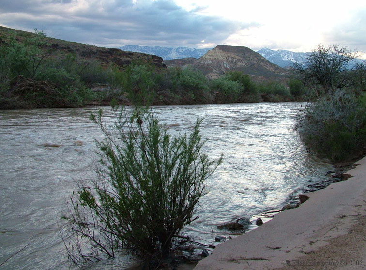
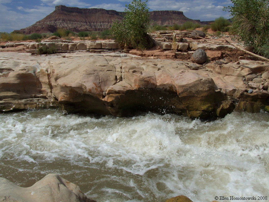
Virgin River bends at LaVerkin River confluence |
As seen from below on a trail in the canyon |
 |
 |
Check out the balanced rock |
 |
 |
| More of the above trail another time |
 |
 |
 |
|
Virgin River in Hurricane, UT |
 |
|
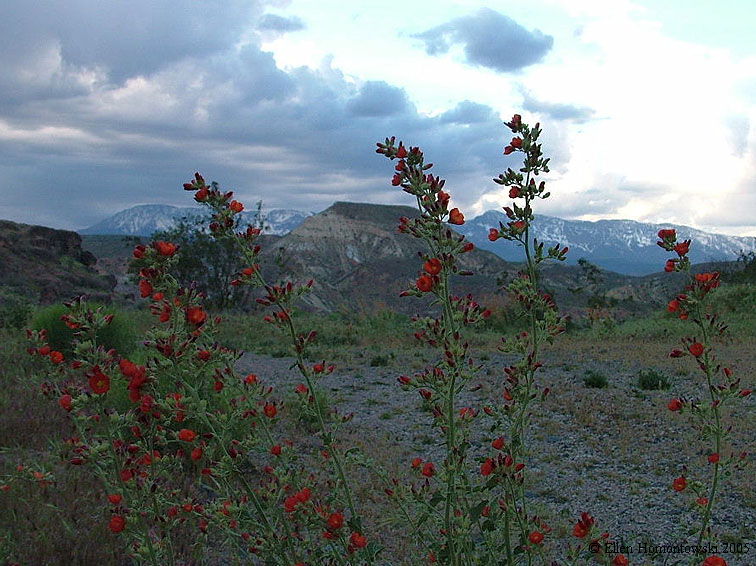
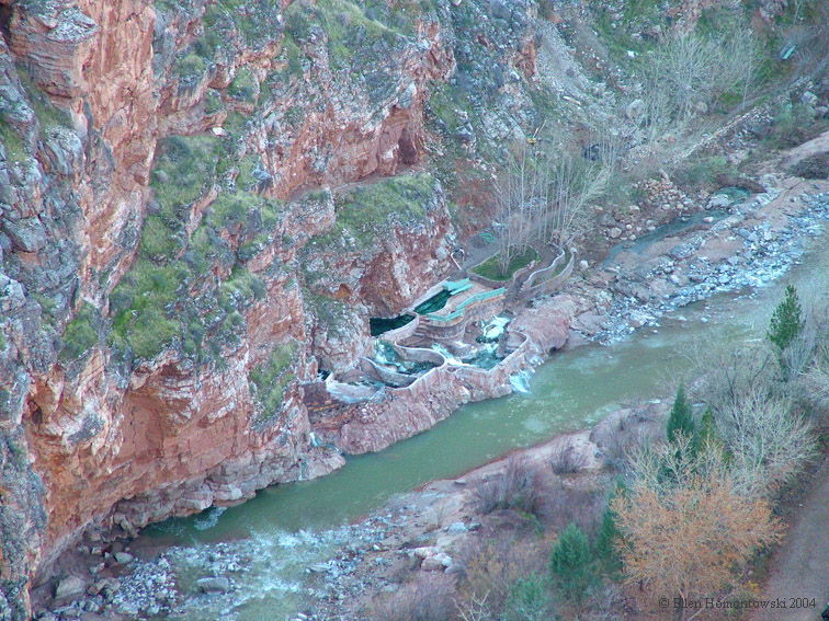
Pah Tempe hot springs viewed from Rim Trail above LaVerkin (they really smell bad sometimes) |
|
|
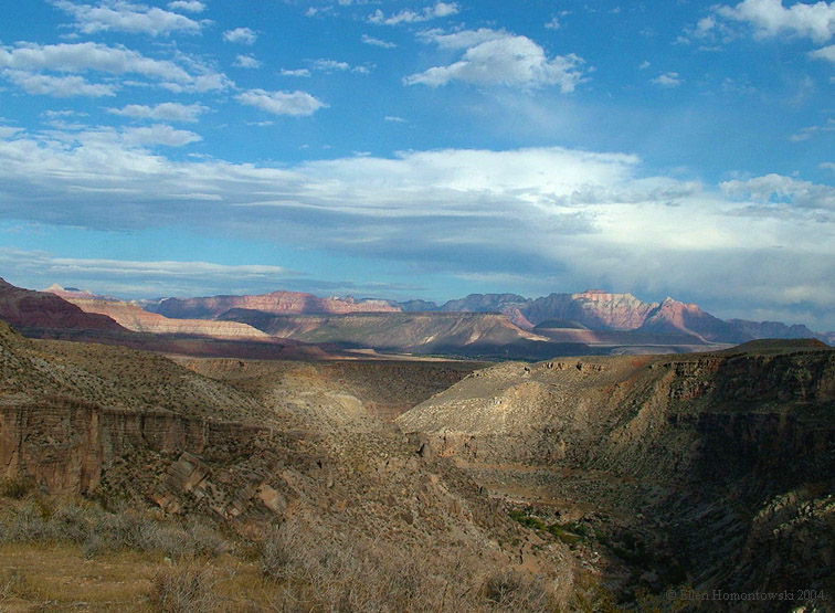
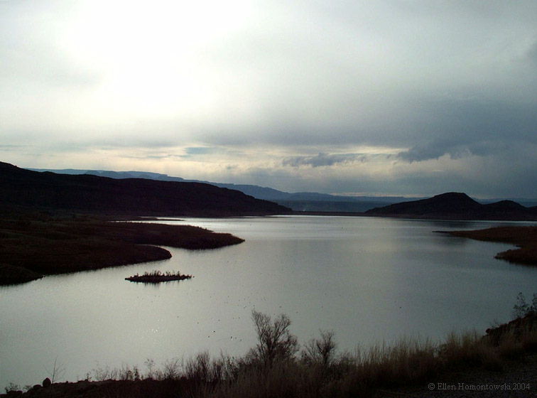
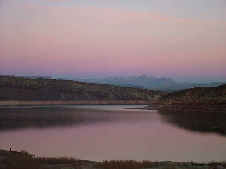
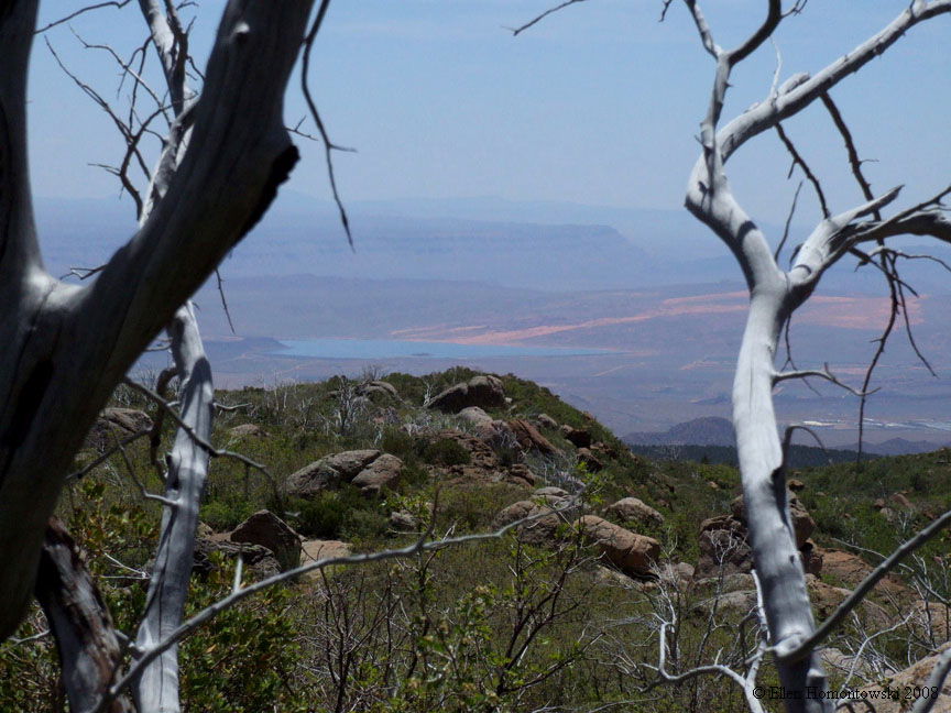
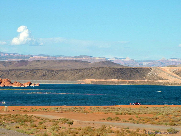
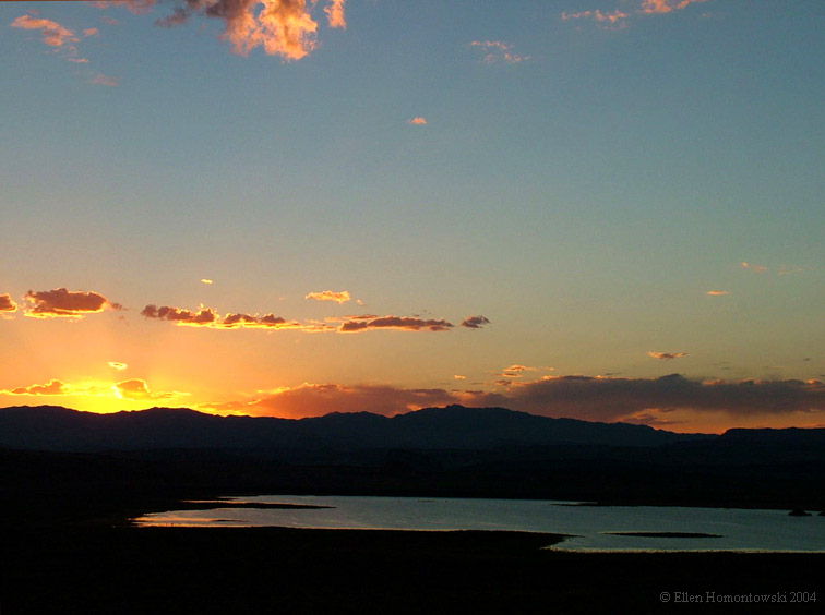
Sand Hollow Lake in Hurricane, UT (Zion in back) |
Sunset over Sand Hollow Lake |
|
|
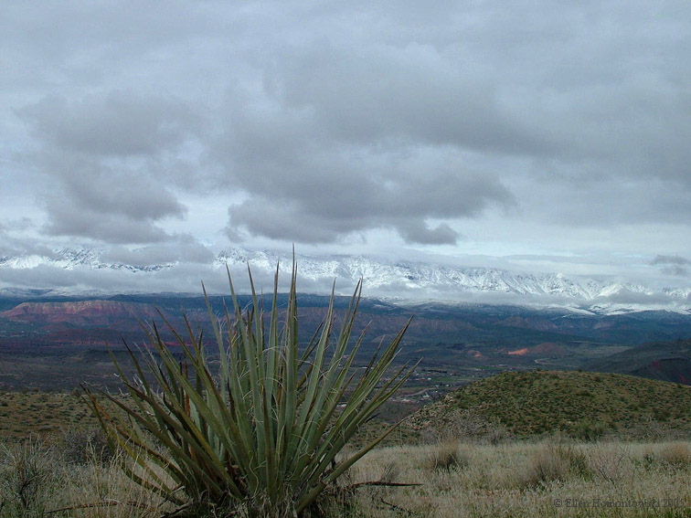
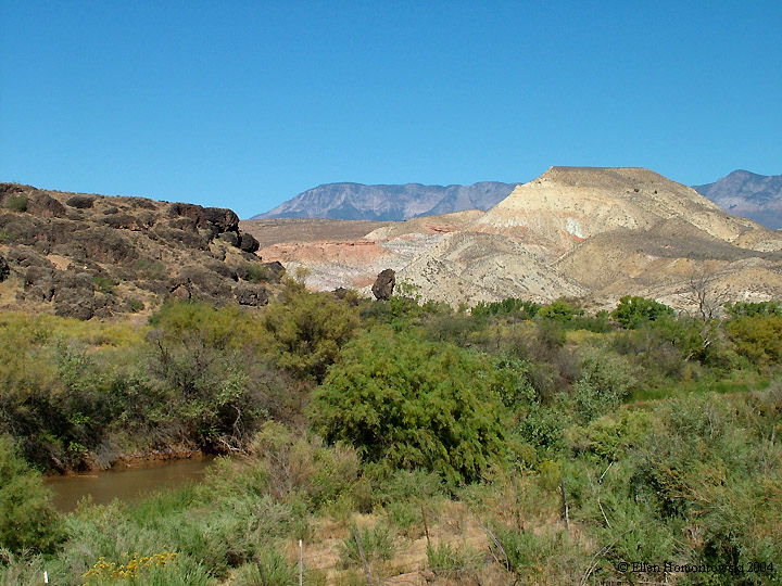
Above Zion, the road up to Kolob Reservoir from Virgin, UT |
 |
 |
 |
 |
 |
Hop Valley |
 |
 |
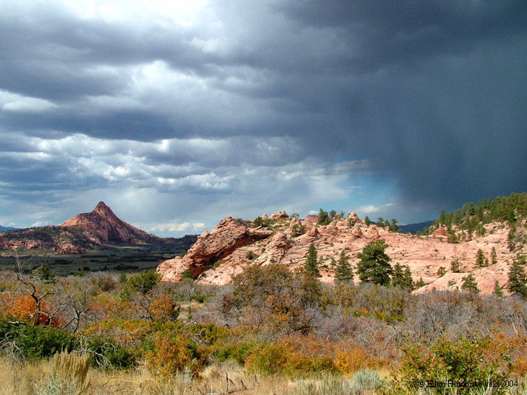
Fall Foliage above the desert, as early as Oct 3! Click for more autumn images atop Zion at the Kolob Reservoir, and from the Taylor Creek Trail at Kolob Canyons |
 |
|
 |
 |
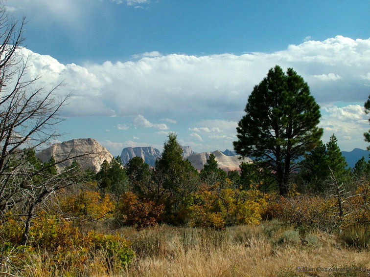
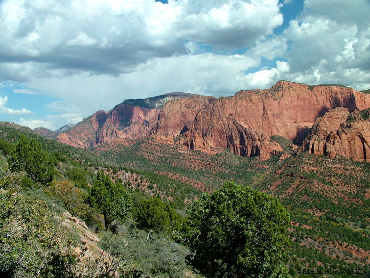
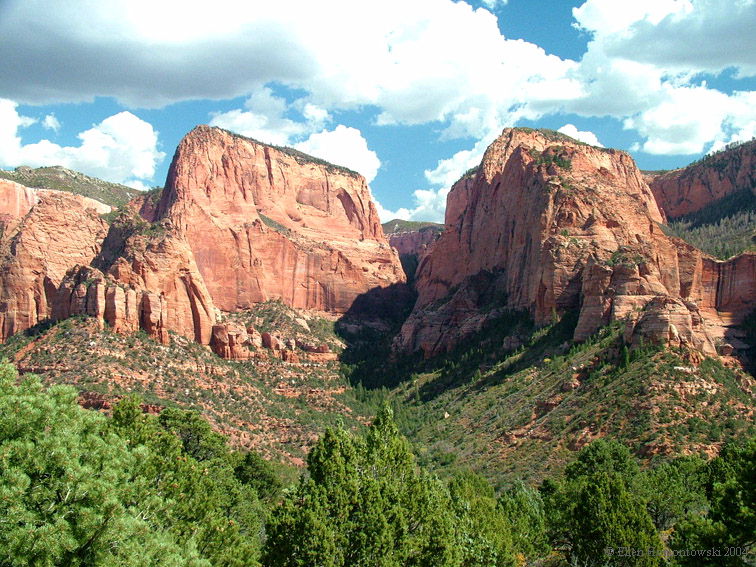
Kolob Canyons (Taylor Creek left), in northern Zion. Timber Creek Overlook Trail (right, & below), |
 |
 |
 |
 |
 |
|
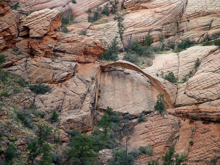
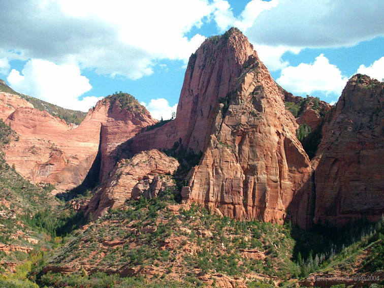
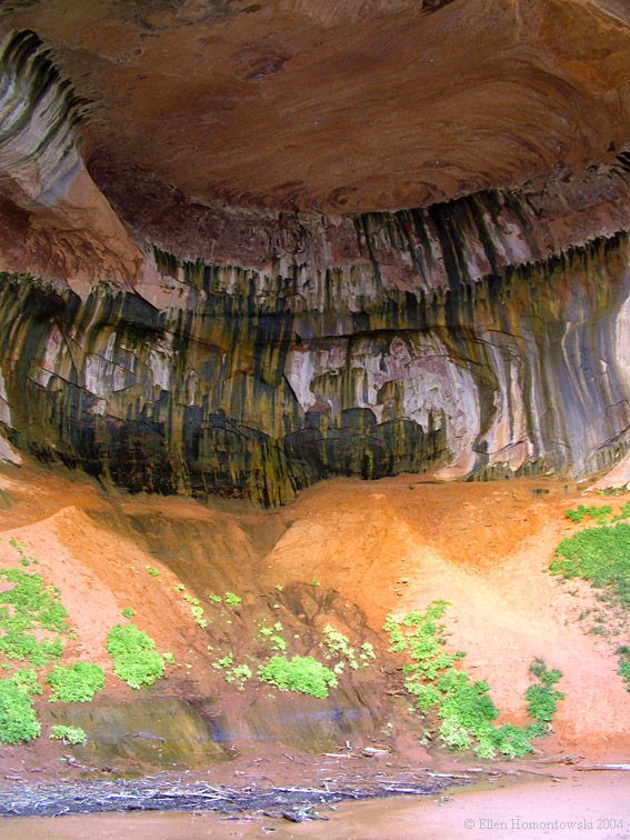
The Double Arch Alcove at the end of the Taylor Creek Trail, Kolob Canyons, UT |
 |
 |
 |
|
Hiking partner on LaVerkin Overlook |
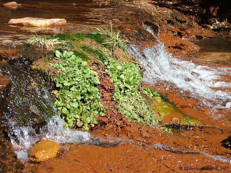
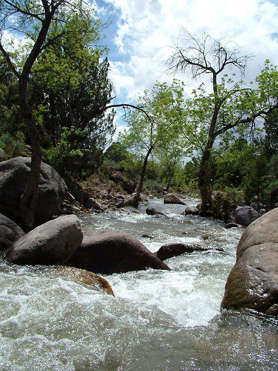
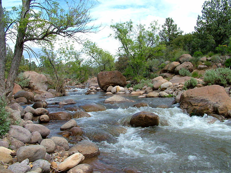
Leeds Creek at Silver Reef Spring '05 |
|
|
 |
 |
 |
|
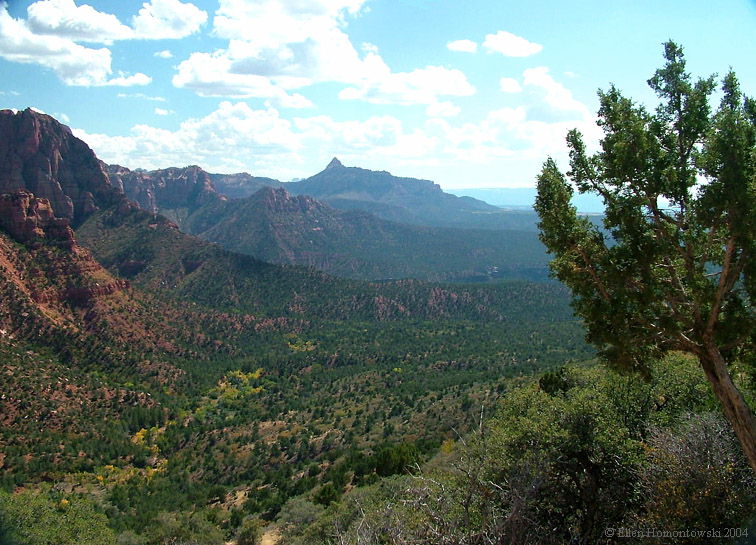
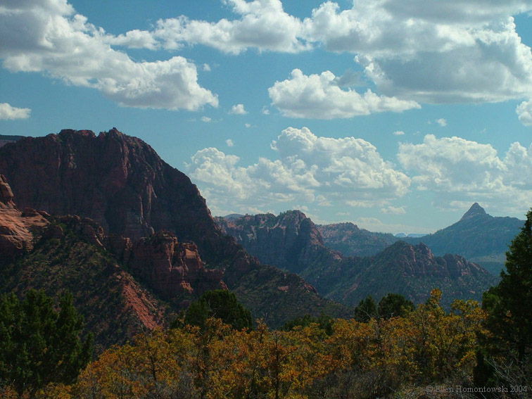
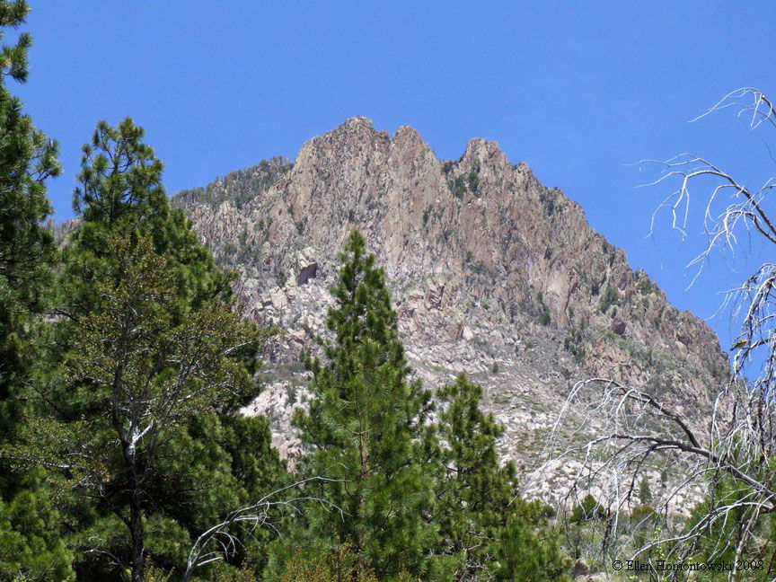
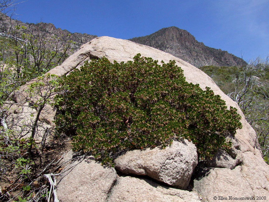
Kolob Canyons & Terrace (North Zion) first 2 viewed from Kolob Mountain (There's a pic of us on the main Basin & Range page) |
 |
 |
|
 |
More Oak Grove trail views |
 |
 |
 |
 |
 |
 |
 |
 |
 |
 |
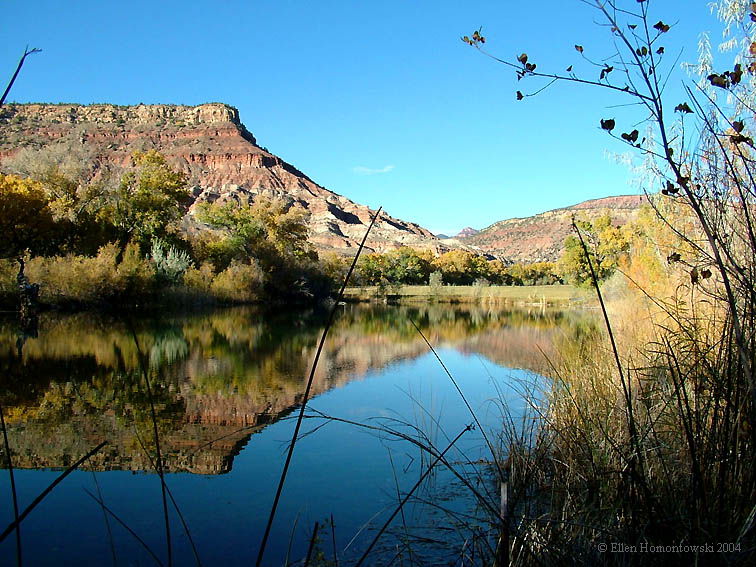
| Views from Smith Mesa (2) and Virgin River Park |
 |
 |
 |
|
Sandstone Mountain See more of this on another hike |
 |
View from Hurricane trail |
 |
Back to Canyon Country